Tag: moor
-
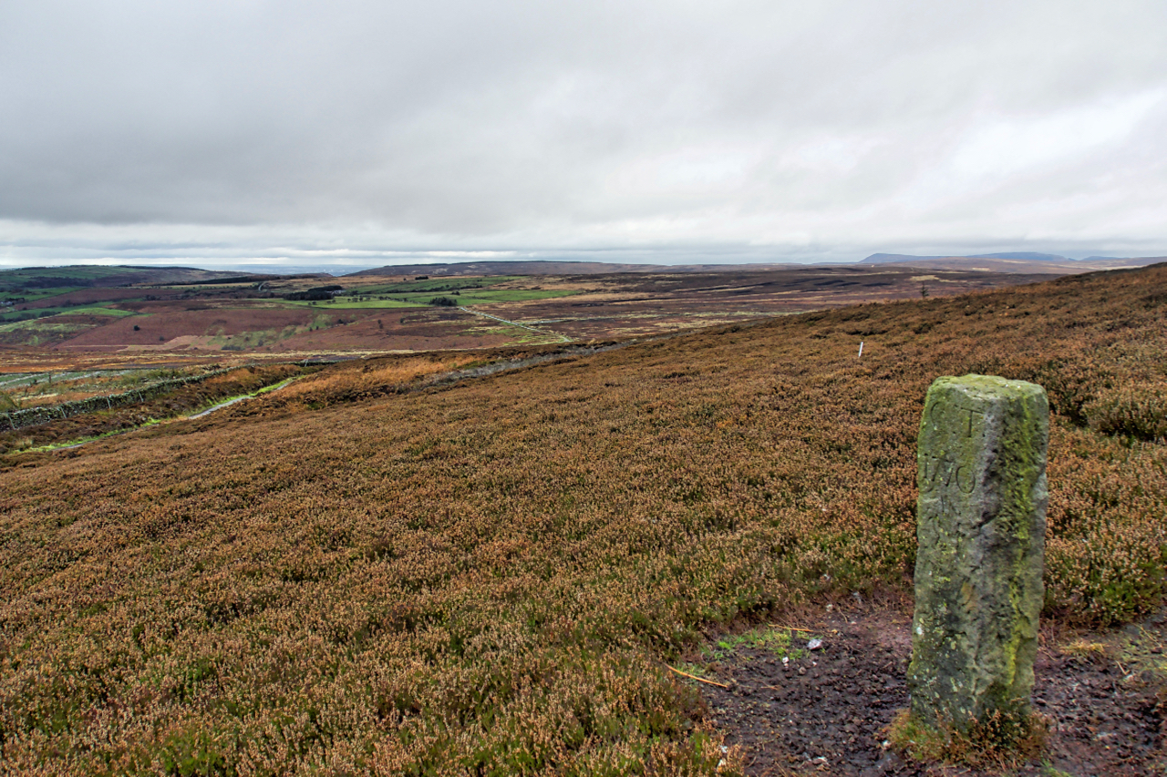
Boundary Stone, Hambleton End
Boundary Stone on Black Hambleton in the Tabular Hills.
-
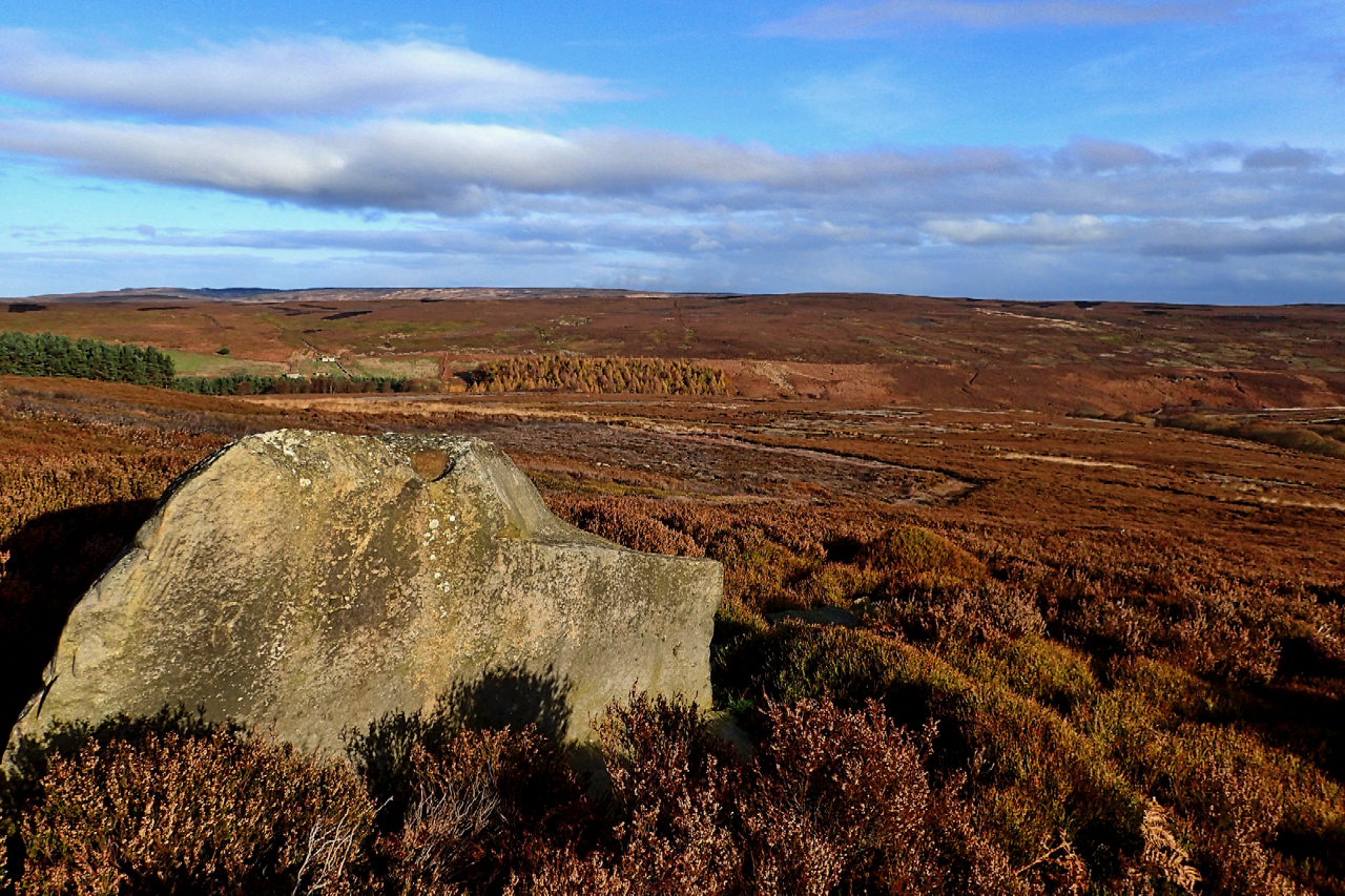
Lamb Stone, Great Hograh Moor
The Skinner Howe Cross Road was the old packhorse route to the Cistercian nunnery in Baysdale. Just after it crosses Great Hograh Beck there is a large boulder named on the Ordnance Survey map as the Lamb Stone. It’s a large sandstone boulder that shows signs of man’s hand at work. A square edge looks…
-
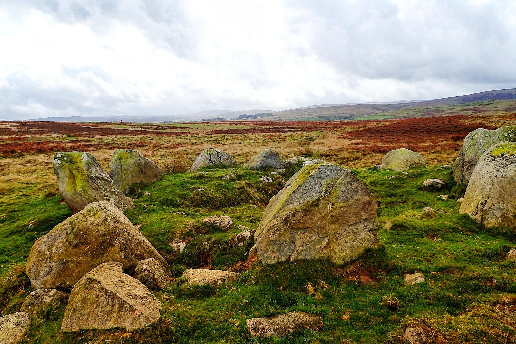
Cairn Circle
An unassuming but impressive stone circle on Moor Divock, a limestone plateau between Pooley Bridge and Askham in the English Lake District.
-
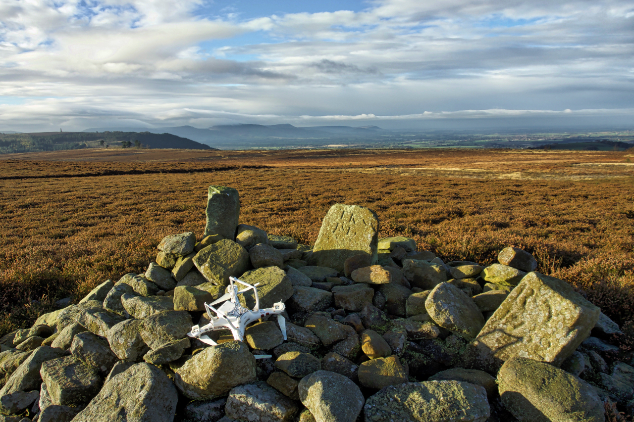
Not the best of landings
I haven’t whinged on about litter recently. The problem hasn’t gone away. There’s a couple of new websites that have been set up to geolocate litter. Firstly there’s the Marine Conservation Society in support of their campaign for the introduction of a plastic Deposit Return System. And then there’s the Open Litter Map (#OpenLitterMap), an…
-
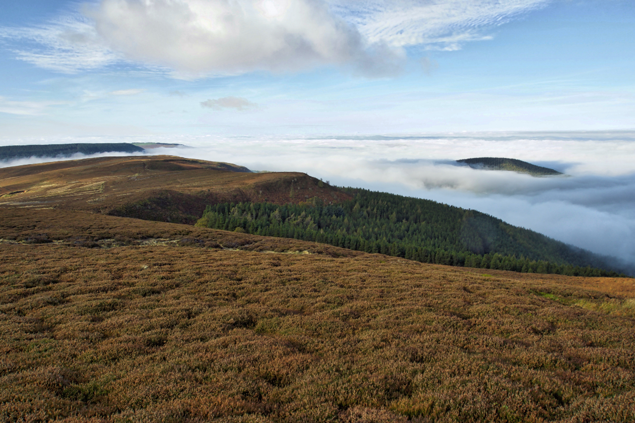
Live Moor and Whorlton Hill
The low lying cloud was playing tricks this morning. Great Ayton, Stokesley: sunshine and blue skies. Carlton, just 4 kilometres down the road, dense fog obscuring the sun. Then, climbing up Carlton Bank into the sun again. Brilliant. Open Space Web-Map builder Code
-
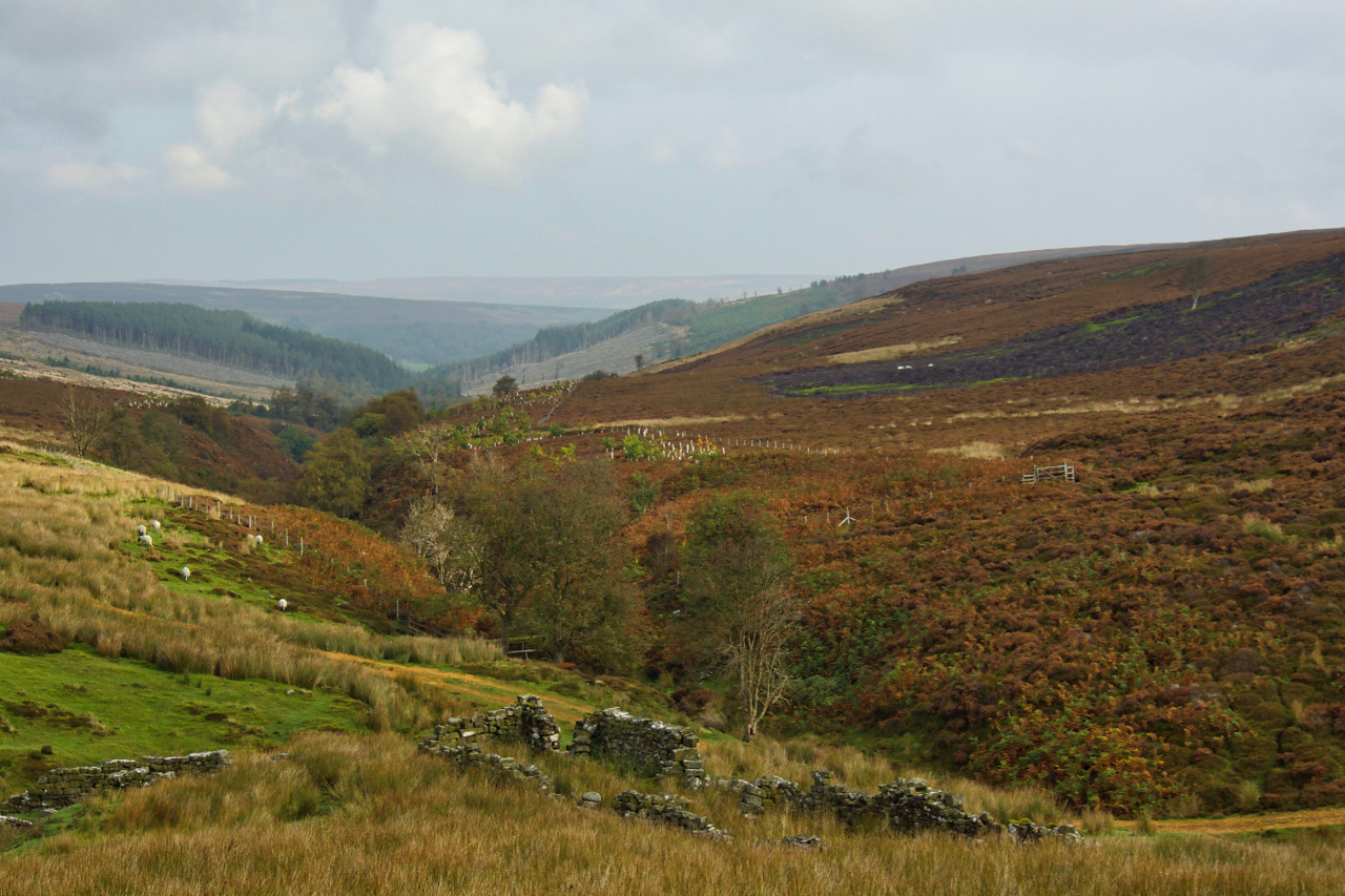
Armouth Wath
When Baysdale Abbey was sold in 1803, the sale included a “supposed very considerable” coalmine. This would have been at Armouth Wath at the head of Baysdale, one of the furthest tributaries of the River Esk, although mining activity by this time would have been on the decline having reached its peak in the 18th…
-
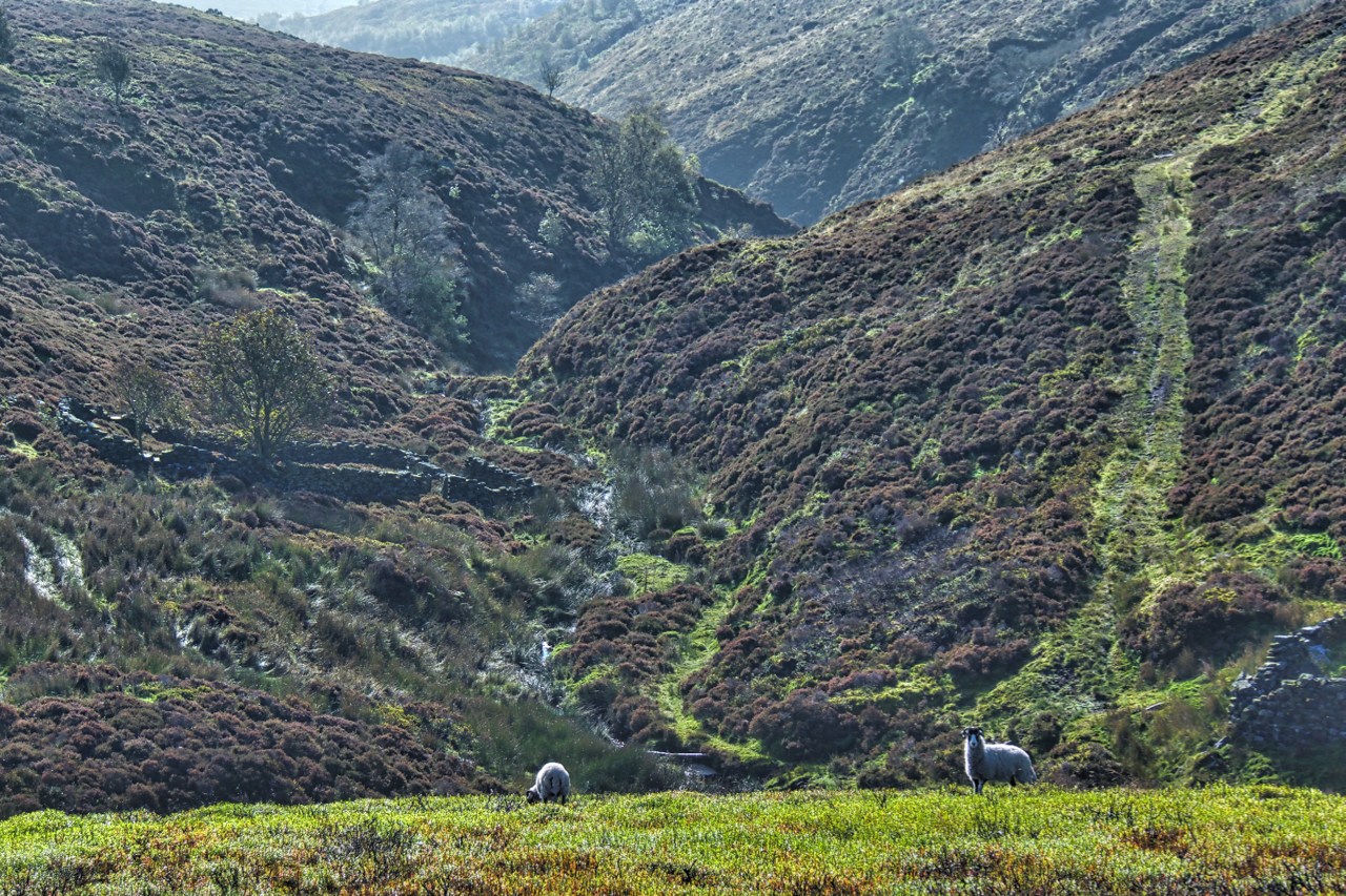
West Gill in North Dale
Reading the depressing news that a bird of prey had been shot in Rosedale earlier this week reminded me to head down that way. No precise location was given in the report so a toss of the dice saw me in West Gill, North Dale, a deep unfrequented gash in Rosedale Moor. A cracking day…
-
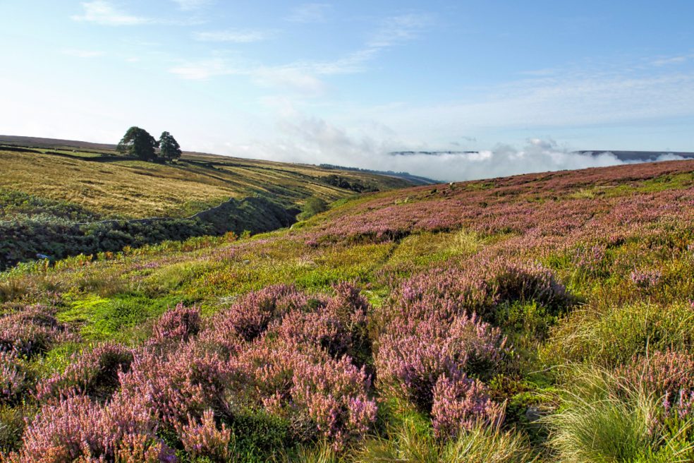
Parci Gill
Parci Gill is a tributary of the River Rye nestling between Cow Ridge and Sour Milk Hills on the moors to the west of Bilsdale. The name, Parci, sometimes written Parsi, is unusual and its etymology is difficult to explain. It has been suggested that it may predate the more usual Old Norse and Anglo-Saxon roots.…
-
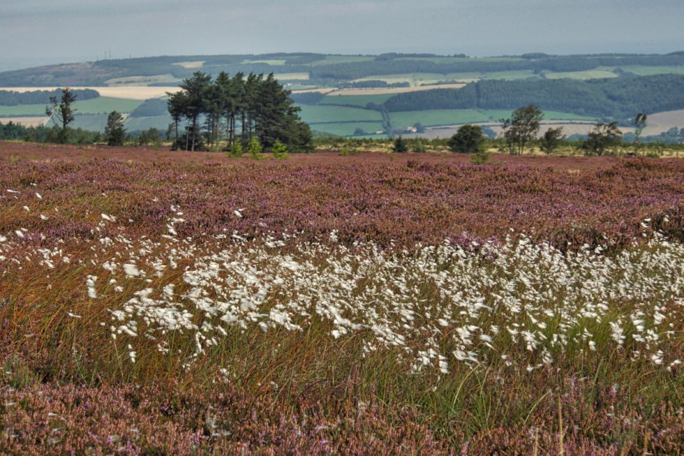
Hutton Moor
This stand of larch has always intrigued me. It first appears on the 1952 edition of the Ordnance Survey map, is circular and isolated on the heather moor. It can not be self-seeded. Who planted it? And why?
-
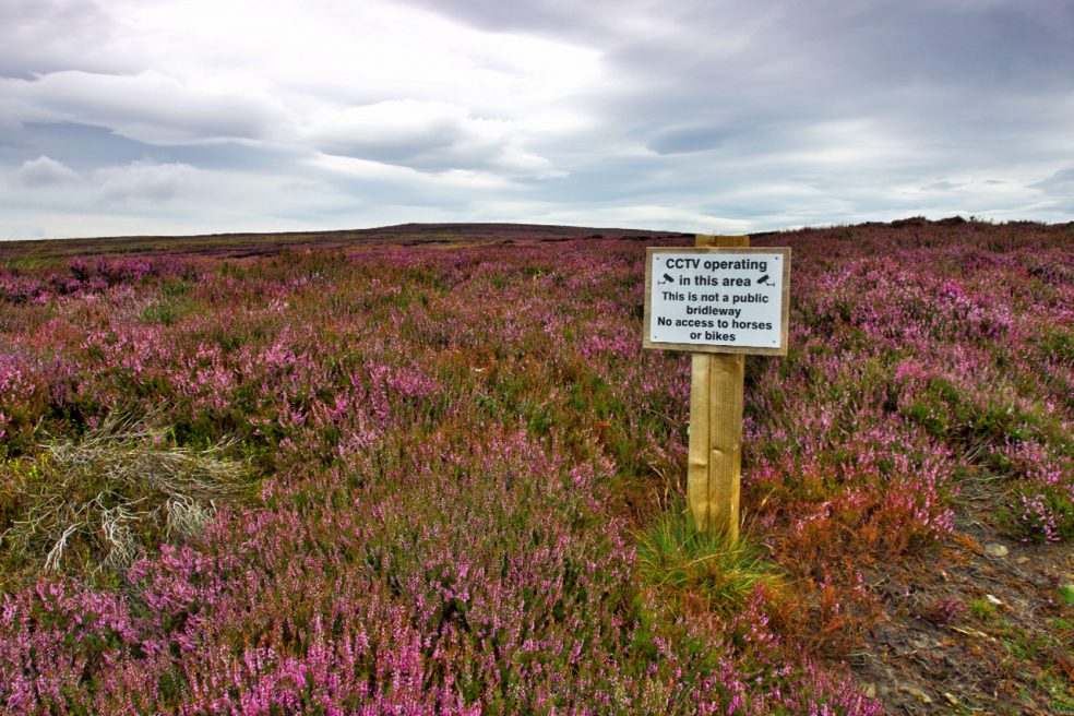
CCTV operating
The Inglorious 12th minus one, to borrow from the title of Mark Avery’s book. Tomorrow will mark the beginning of the annual slaughter on the moors. On Farndale Moor signs have gone up advising of CCTV monitoring. No matter I don’t own a horse and have no intention of biking along the track, I find these…