Category: Cleveland Hills
-
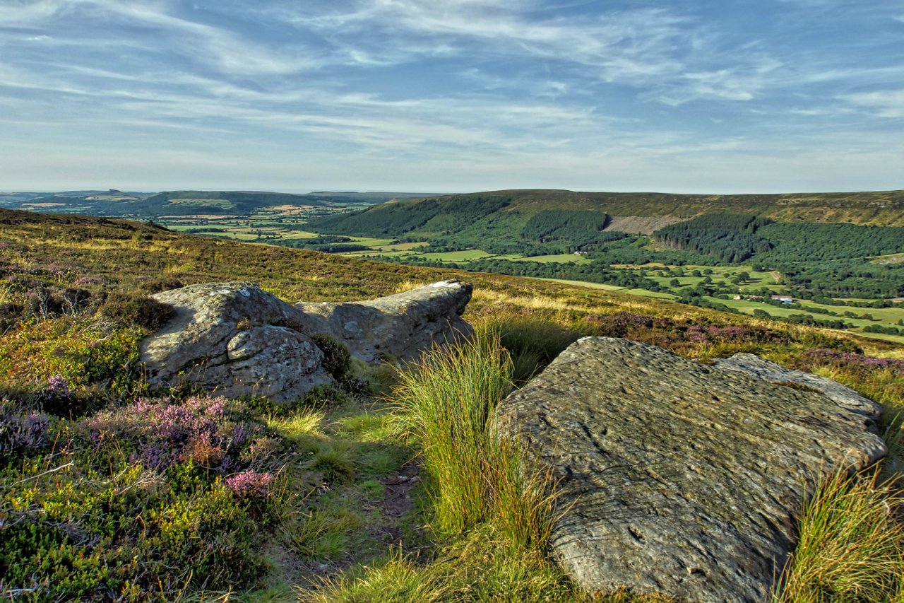
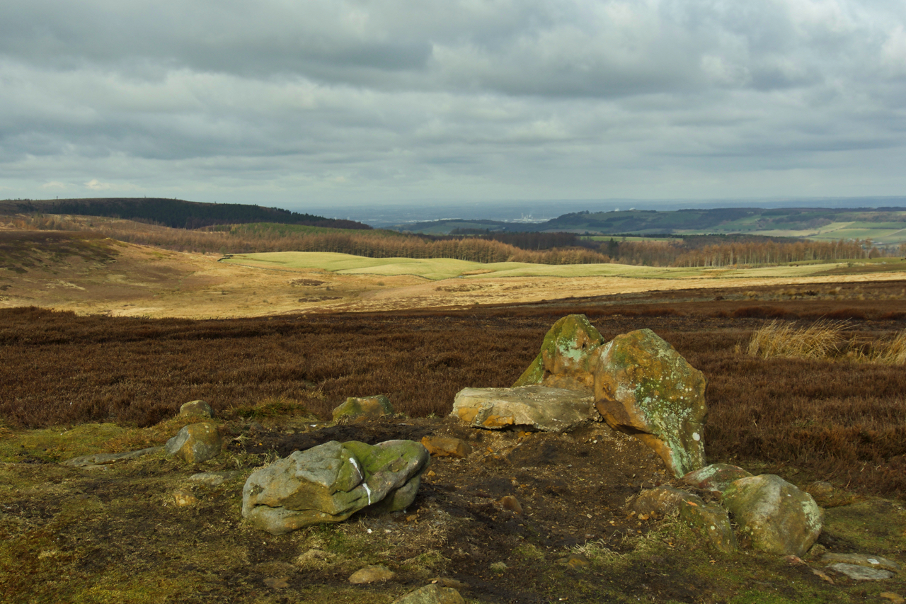
Carr Ridge
A lovely summer’s evening. Nicely cooling off. On Carr Ridge on Urra Moor. The Public Bridleway down Jackson’s Bank passes between a pair of flat stones, an obvious landmark, which surprisingly are un-named. roseberry is somewhere on the horizon. Open Space Web-Map builder Code
-
Green Bank and Busby Moor
Here comes the rain. It’s looking ominous. Finally some relief. Looking along the Cleveland Hills from the Raisdale Road. Roseberry is somewhere on the horizon. Open Space Web-Map builder Code
-
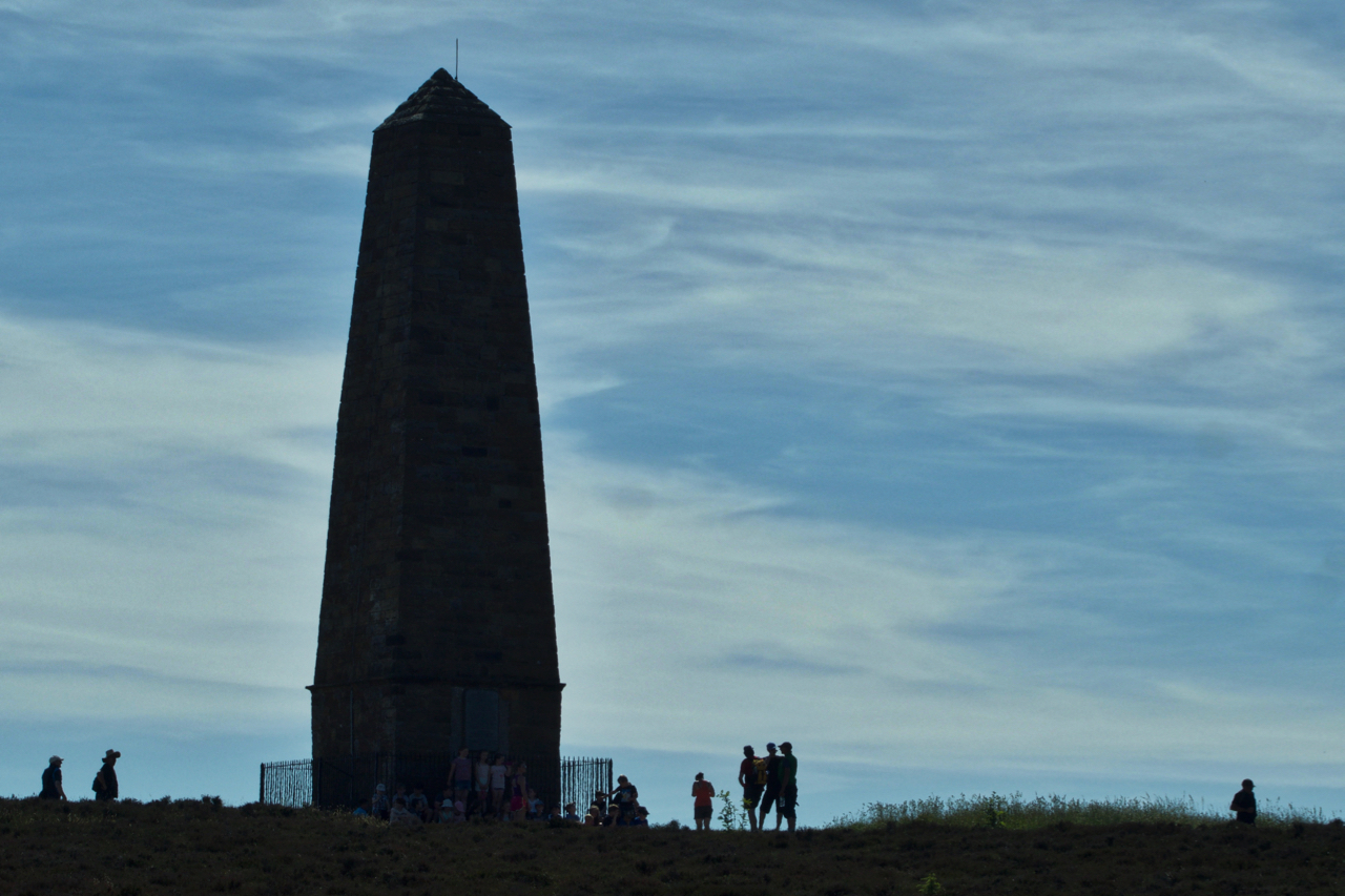
Capt. Cook’s Monument
A hostile environment of supercooled ice crystals, 20º below freezing. And 20,000′ below those cirrus clouds, it’s the hottest day of the year. Capt. Cook’s Monument, the obelisk on Easby Moor, that’s visible for miles around, towers above a group of schoolchildren enjoying being outside. It’s great to see some schools still value outdoor education.…
-
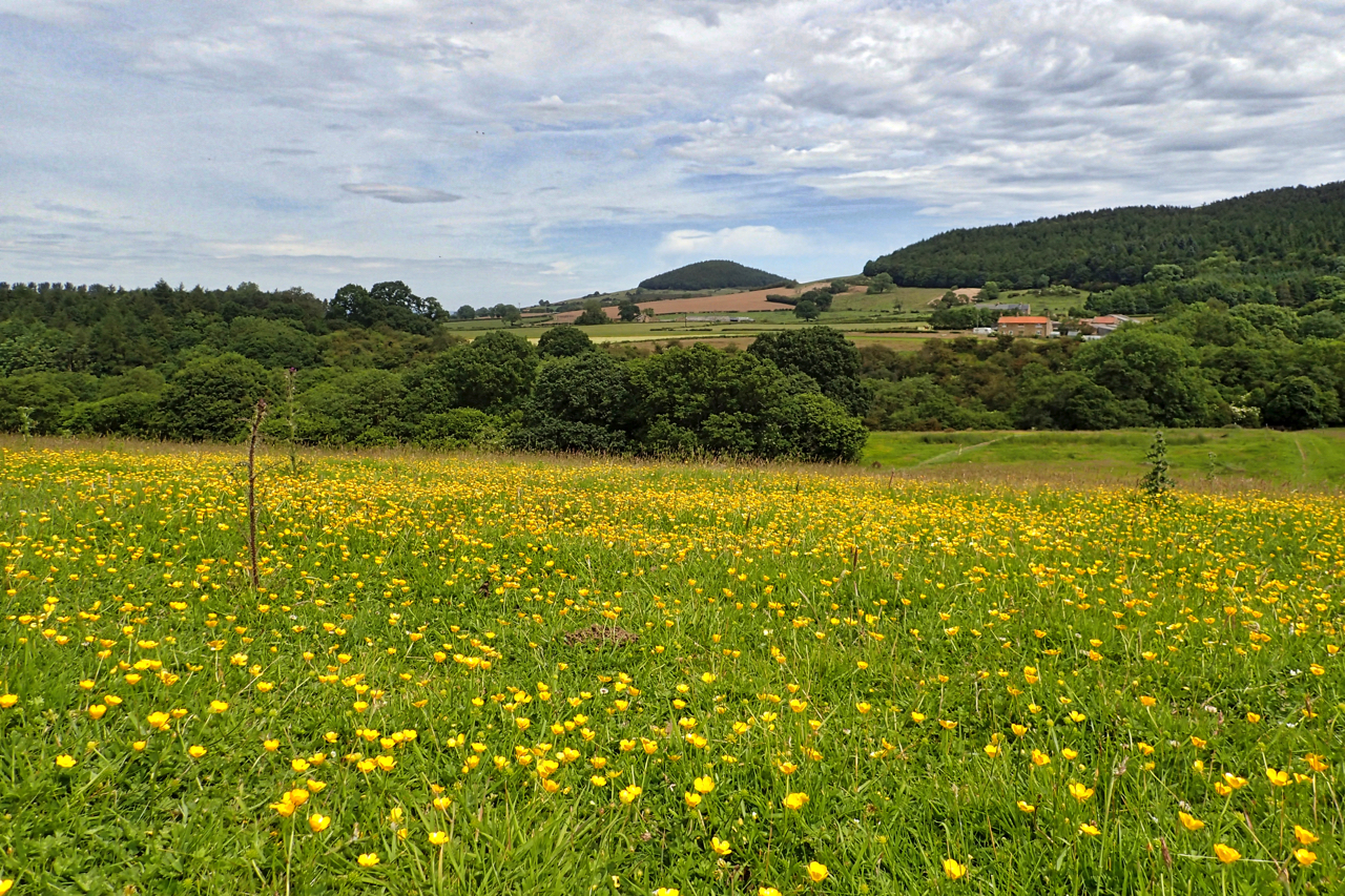
Huthwaite Green
Also known as Heathwaite, names which are as Yorkshire as a name can be, the ‘thwaite’ element coming from the Old Scandinavian word for a clearing: thveit. Heathwaite means a high clearing and Huthwaite a hill clearing. This view over the buttercup meadows of Scugdale is a familiar sight for walkers on the Cleveland Way,…
-
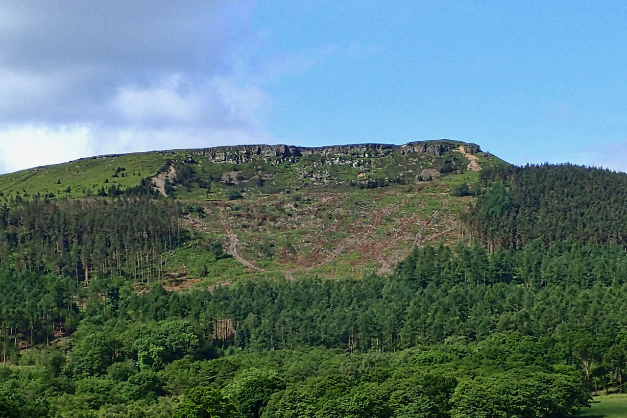
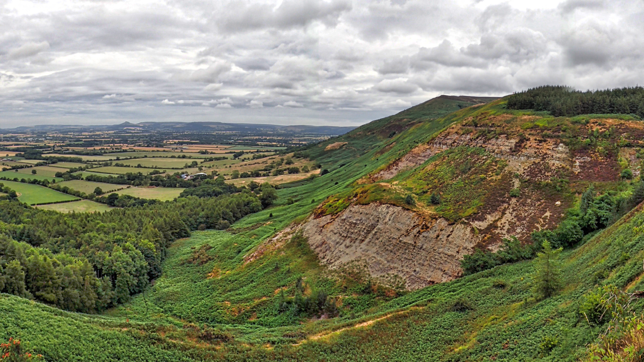
White Hill
A large swathe of clear felling on White Hill. It may be a coincidence but the clearance is almost exactly on the disturbed ground of the 1872 landslip when the Stokesley to Helmsley road was covered to a depth of up to 24 feet with rocks, shale and soil. The argument about who should repair…
-
Roseberry from Newton Moor
A cracking morning. Out and back before the crowds make the pilgrimage to the summit. Open Space Web-Map builder Code
-
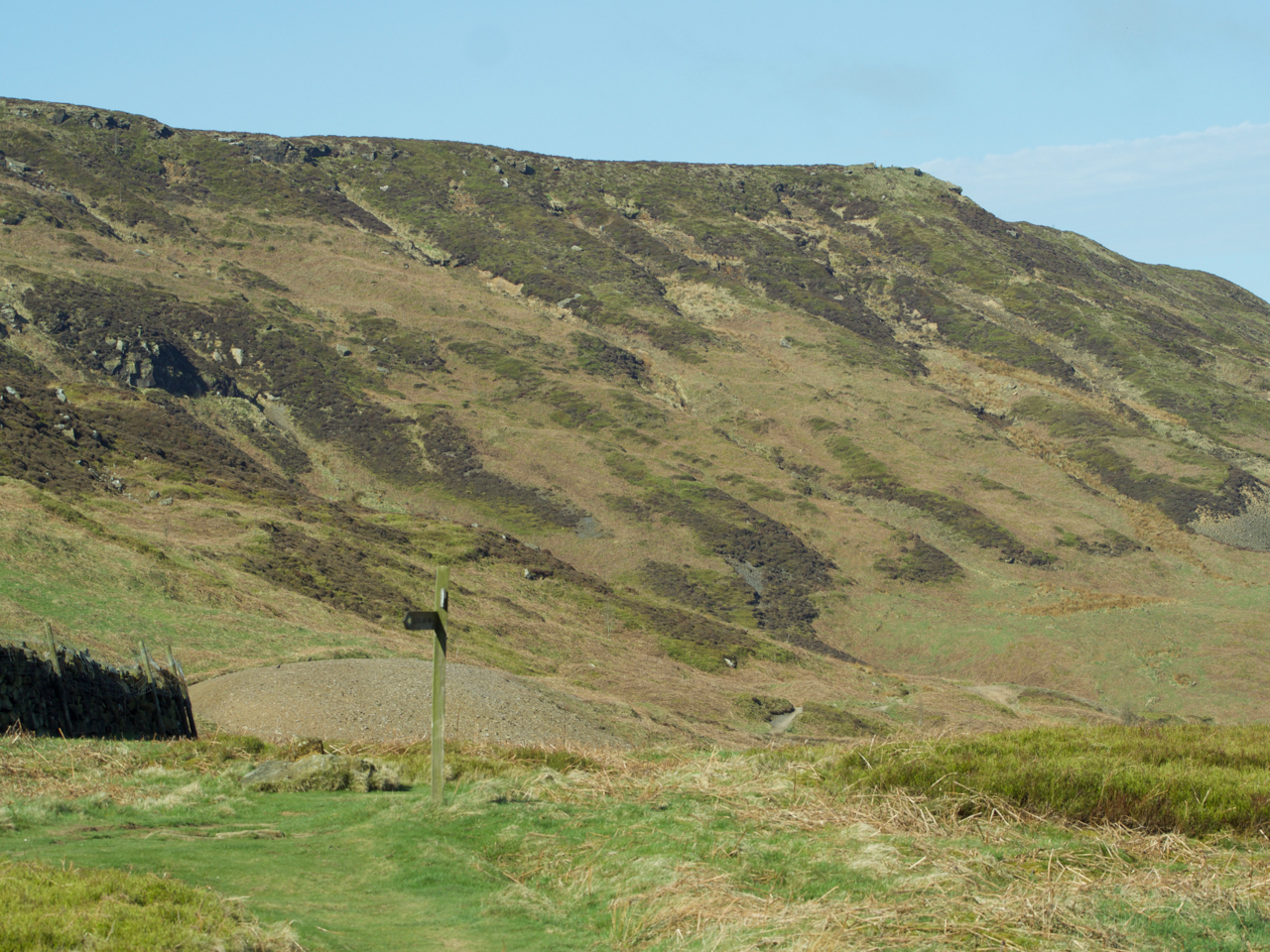
Cringley End
The modern Ordnance Survey map names the nab at the northern tip of the western end of Kirby Bank as Cringle End but I much prefer the Victorian name Cringley End. I notice too that Kirby Bank is referred to as Kirkby just like the village. I think I favour that too. Just to the…
-
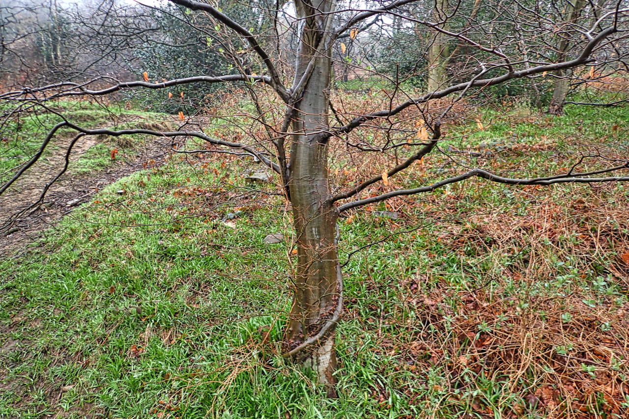
Husband and wife trees
Thirteen years ago in February, we had snow and I was fascinated by a pair of intertwined beech saplings. Over the years one tree has dominated and has perhaps doubled in circumference whereas the subservient tree, if that is the right term, as hardly grown at all. The two trees have grafted together. The layers…
-
Codhill Heights Revisited
A photo I posted earlier this year was of the round barrow at Codhill Heights, an inconspicuous 296-metre high summit on the ridge behind Highcliff Nab. Over the years a cairn has been built over the barrow which dates to around 2,000 BC. The National Park has now removed this “modern” cairn exposing some original…
-
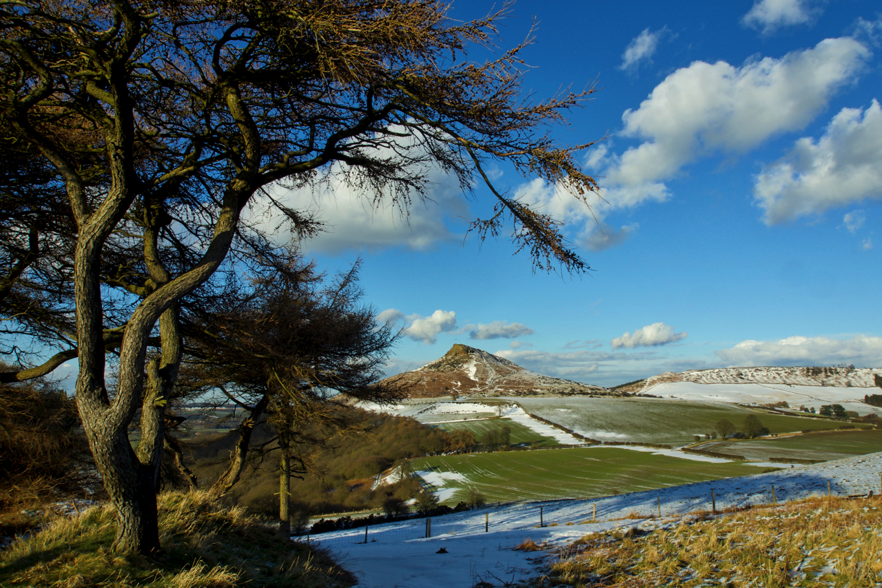
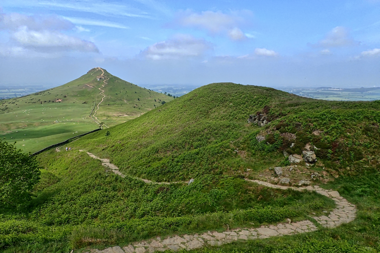
Roseberry Topping
Woke up this morning to a hard frost, overcast but bright skies in the distant out over the North Sea. By nine o’clock, a whiteout. Utter chaos, all roads south at a standstill. By tea time, blue skies, roads clear, and, with Roseberry as a backdrop, warm enough for a moment’s reflection. Open Space Web-Map…