Prompted by a recently published article giving a fresh interpretation on the five Roman signal stations or fortlets along the Yorkshire coast, I popped down to re-visit the one at Goldsborough1White, Andrew. “‘TURREM et CASTRUM’: SOME FRESH THOUGHTS on the ROMAN FORTLETS of the YORKSHIRE COAST.” The Antiquaries Journal, vol. 102, Jan. 2022, pp. 45–68, https://doi.org/10.1017/s0003581521000366. [Accessed 22 Nov. 2022].
A murky day.
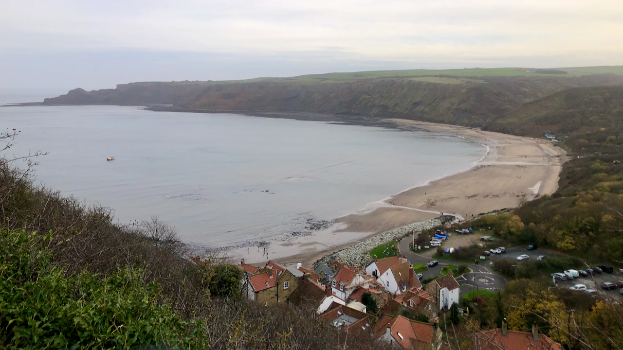
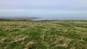
And not really much to see when there. just a few vague humps and bumps. In the featured image, Goldsborough can be seen across Runswick bay on the skyine just left of centre.

The five signal stations are located on the coastal cliffs between the River Tees and Flamborough Head. Traditionally, these sites have been interpreted as signal stations, to give an early warning of seaborne attack from the Picts, the Scotti and the Attecotti tribes from Northern Britain.
But there are a few issues with this view.
First of all, the five stations can not be seen from the adjacent one along the coast, so there is no clear signalling chain. Intermediate stations, long lost to coastal erosion, have been suggested at Boulby, Whitby and Flamborough but there is no evidence.
Any raiding party coming from the north would navigate within sight of land and could make landfall anywhere north of the Tees. Why bother with an inhospitable coast where harbours of refuge are few and far between? Roman fortifications along the Durham coast is minimal.
One theory is that the raids might come from across the North Sea, from Saxons and the Franks of North Germany. They will be keen to relocate using the distinctive landmarks of the cliffs before turning along the coast.
And neither is there any evidence of a signalling chain back to the major military towns of Malton or York. It would take maybe two days to carry a message of an attack to these garrisons and longer for troops to march back in response. A round trip of at least four days. It seems more likely that messages would be carried along the coast to the esturaries of the Tees or Humber, where large naval fleets might be based, Whitby and other coastal coves not being considered big enough to harbour anything larger than small scouting vessels.
- 1White, Andrew. “‘TURREM et CASTRUM’: SOME FRESH THOUGHTS on the ROMAN FORTLETS of the YORKSHIRE COAST.” The Antiquaries Journal, vol. 102, Jan. 2022, pp. 45–68, https://doi.org/10.1017/s0003581521000366. [Accessed 22 Nov. 2022]
Leave a Reply