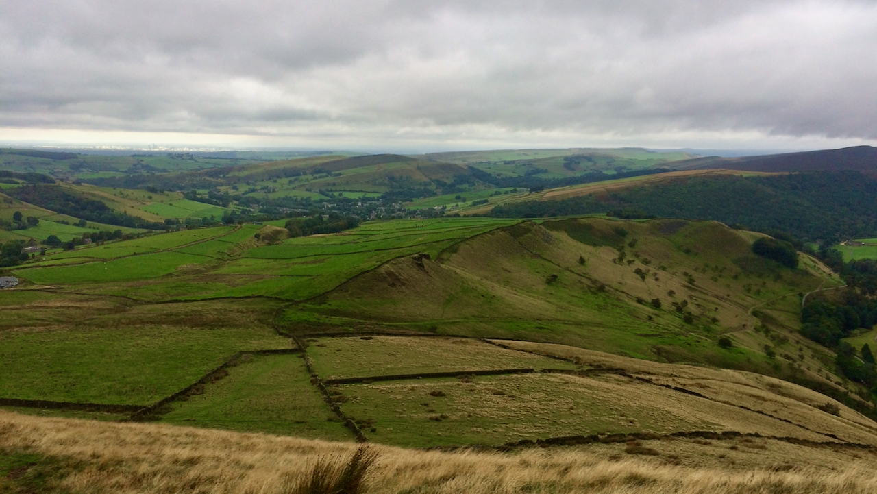
Looking back towards the village Hayfield in Derbyshire from the ominously named Mount Famine.
The name is supposed to date from the late-18th to early-19th-century Enclosure Acts when local landowners agreed to parcel up the land between them including common land. Farmer who once provided services and a proportion of their produce to the Lord had now to pay a rent. The aim was to divide the Common land up fairly but some farmers found that their allocation was of poor agricultural value insufficient to make a living for themselves and their families. This is immortalised in the name Mount Famine.
In addition the tenant farmers were required to enclose their allocated land which on moorland would have been dry stone walling and usually in straight lines as here on the ridge below Mount Famine1Ochota, Mary-Ann. “Hidden Histories: A Spotter’s Guide to the British Landscape”. P. 149. Reprint 2018. Frances Lincoln, ISBN 9780711240087. Available at: https://books.google.co.uk/books?id=BPZcDwAAQBAJ&lpg=PA149&ots=YgQN1eKIxE&dq=%22mount%20famine%22%20%22enclosure%22&pg=PA149#v=onepage&q=%22mount%20famine%22%20%22enclosure%22&f=false2Hill Explorer. (2017). Hill Explorer. [online] Available at: https://hillexplorer.com/summit/16494-mount-famine/ [Accessed 24 Sep. 2021]..
- 1Ochota, Mary-Ann. “Hidden Histories: A Spotter’s Guide to the British Landscape”. P. 149. Reprint 2018. Frances Lincoln, ISBN 9780711240087. Available at: https://books.google.co.uk/books?id=BPZcDwAAQBAJ&lpg=PA149&ots=YgQN1eKIxE&dq=%22mount%20famine%22%20%22enclosure%22&pg=PA149#v=onepage&q=%22mount%20famine%22%20%22enclosure%22&f=false
- 2Hill Explorer. (2017). Hill Explorer. [online] Available at: https://hillexplorer.com/summit/16494-mount-famine/ [Accessed 24 Sep. 2021].
Leave a Reply