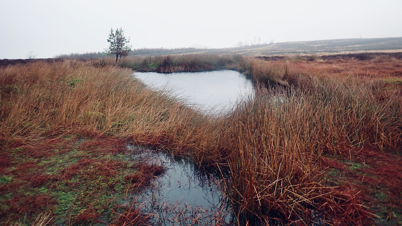
I’m guessing this is a manmade pond, at the head of Howden Gill. It’s not shown on the 1958 OS Map. I’ve photographed it before but have always assumed it to be on Great Ayton Moor, but on closer inspection it’s actually to the north of the Newton parish boundary, so strictly that will make it Newton Moor.
The reason I’m perusing parish boundaries is because I was thinking about those miners 100 years ago working the ironstone seam 350′ below. That’s about 107m. A cap of Saltwick Sandstone then softer shales of the Whitby Mudstone before reaching the Cleveland Ironstone.
Newton Moor was mined by the Tees Furnace Company accessed from the Roseberry Mine. Pease & Partners’ Monument Mine worked below Great Ayton Moor. The boundary between the two royalties was the parish boundary.
There are detailed plans of the Roseberry and Monument Mines’ workings available but unfortunately not online. What they show though is a remarkable level of surveying skill in knowing when to stop at the boundary of their royalties.
An excellent explanation of the method of working an ironstone seam can be found on the East Cleveland’s Industrial Heartland website. This also includes a plan of mine workings below Skelton village showing their complexity and the surveyors diligence in not mining below the church.
From plans for the Roseberry Mine, it can be seen that the seam below the pond on Newton Moor is ‘goaf’, that is all the stone has been extracted and props removed allowing the roof to collapse. It’s tempting to suggest that this caused a sump and the pond to develop on the surface but even with 350′ of shale, I think unlikely.
Right, quiz time:
[Ref047][Ref048]
Leave a Reply to Neil Fryett Cancel reply