On my bike today, on the country lanes around the Rountons. I need to go onto the flatlands occasionally to help me appreciate the hills.
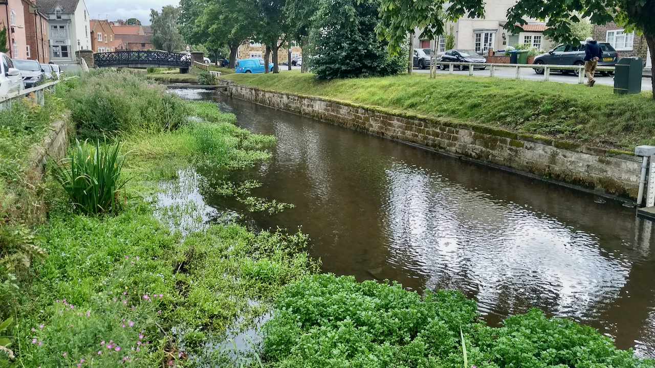
Stokesley town centre was prone to periodic flooding until the flood diversion scheme was built in the late 70s. 1930 was a particularly bad year I understand. When the river is high, the flow is diverted into the Eller Beck and then channelled around the town, rejoining the Leven further downstream.

I can’t remember flooding since so I guess the scheme ought to be judged a success but apparently not. A new £3.7m Flood Alleviation Scheme is being proposed.
The slow flow does seem to be silting up the river though but I see that one of the benefits of new scheme will be to manage the river flow through Stokesley creating a better wildlife habitat.
Leave a Reply