So Christopher Saxton annotated the hill in his Atlas of the Counties of England and Wales which he published in 1579. Commissioned by Elizabeth I, it was the first definitive map of England and Wales with each county being engraved on a separate copper plate on a scale of 1″ to 3⅓ miles. Maps were printed in black ink and hand coloured. Saxton included settlements, woods and the more dominant hills and rivers but, surprisingly, no roads. The original proofs are archived in the British Library. Saxton was a Yorkshireman, born in Dewsbury, and has been referred to as “the father of English cartography”. His surveying methods are unknown. An on-line copy of Saxton’s map for Yorkshire can be found here. Can you find ‘Ounsbury toppin hill’? It is drawn greatly exaggerated as if it is the highest hill in the county.
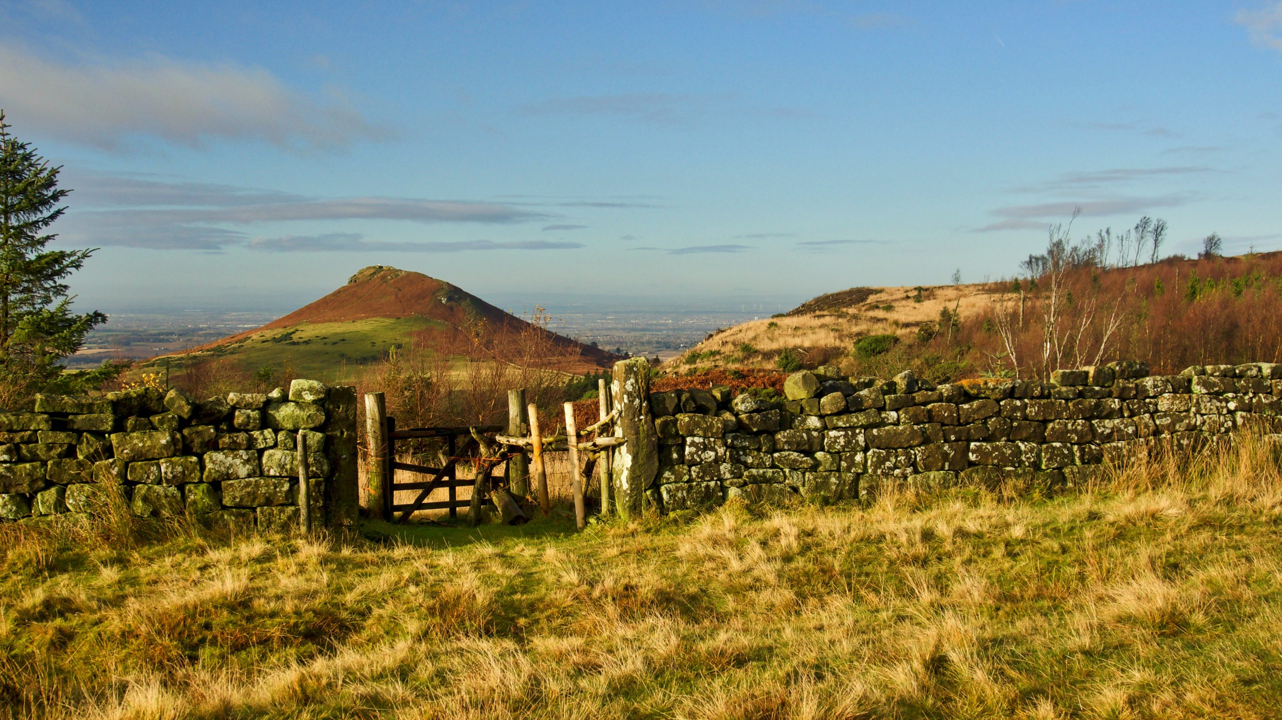
The name Roseberry is said to date from the Old Norse for Odin’s Hill. Topping is also Old Norse, ‘toppinn’ meaning a hill top. So Saxton’s ‘toppin hill’ means hill hill.
Leave a Reply