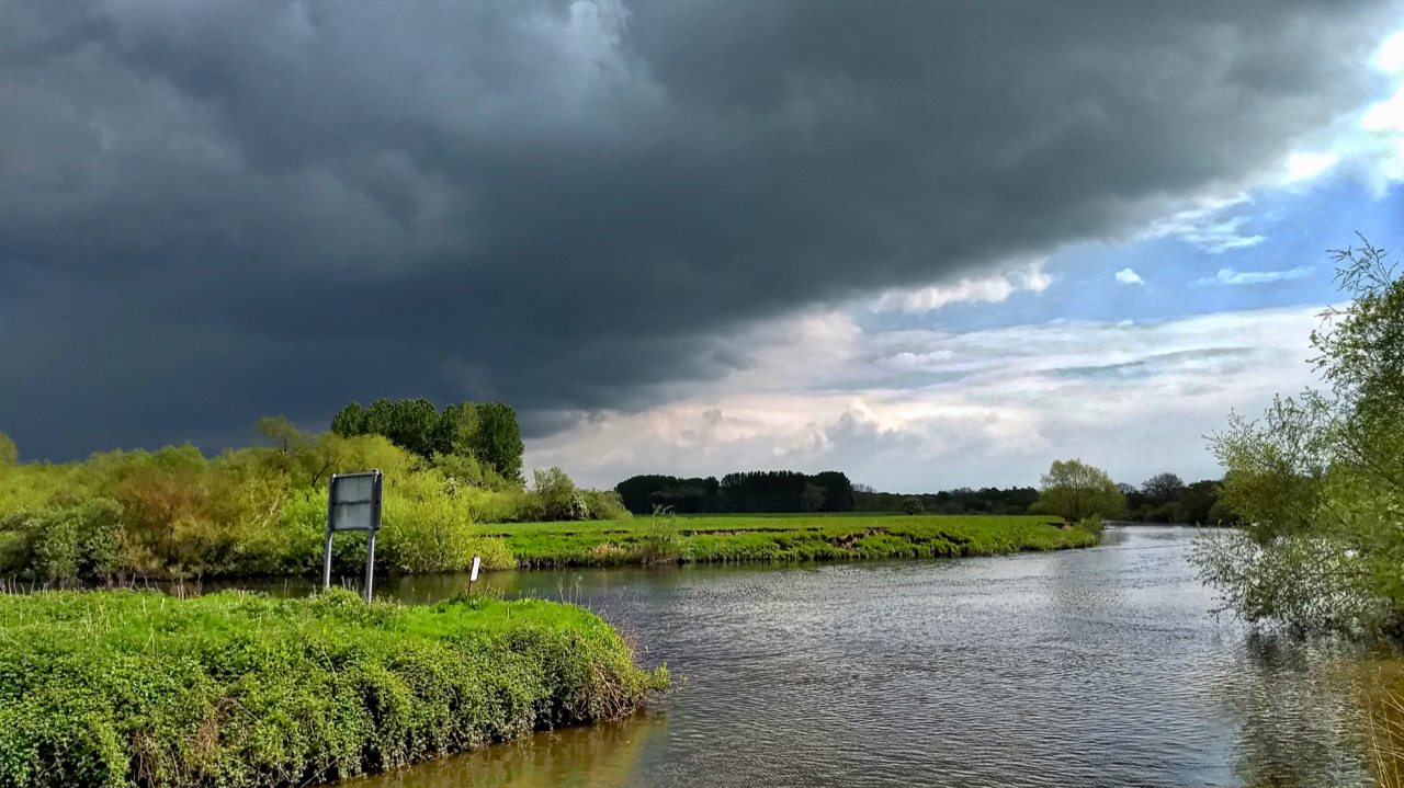
At the height of the boom of canal and later railway construction in the 18th and 19th centuries all railways and canals had to have its own Act of Parliament to ensure purchase of land and rights of way. Even the right to navigate rivers had to be the subject of an Act of Parliament. So it was that an Act was enacted in 1767 authorising the construction of a canal from Ripon to the River Ure and making that river navigable to its confluence with the River Swale just downstream of Boroughbridge. The canal principally carried flax, timber and coal. It was about 4 miles long with three sets of locks and successfully operated until the later 19th century when the railways became established. It was reopened in 1996 and the walk along its towpath to the River Ure is a different world to the hard moorlands. A pleasant few hours walk and we managed to avoid the threatening storm.
Leave a Reply