I read in the proceedings of the Cleveland Naturalists’ Field Club 1903-1904 a hypothesis that at the time of the last ice age a lake existed in Kildale trapped by a great ice sheet, a thousand feet thick, flowing down the Tees valley from Stainmoor Gap. I was aware of such an ice lake in Scugdale also trapped by this western ice sheet and of one in Eskdale trapped by an eastern ice sheet flowing down the from the Yorkshire Coast from Scandinavia. The bulk of the North York Moors forming an island between the ice sheets. But a Kildale lake was intriguing. The author, Rev. J. Hawell, M.A., F.G.S surmises that the water of the Eskdale lake flowed over into the Kildale lake and at some period in the glacial retreat overflowed forming Sowerdale. Where was Sowerdale, I had never heard of it? It turns out that it is a small dale with a trickle of a stream between Easby Bank and Castle Hill. There is one access for the public. One Right of Way crosses it which seemingly comes to a dead end at Copper Hall Farm. But if anyone wants to follow my footsteps it links up to a new Right of Way which came into existence in 2016 but which has not yet on the Definitive Map let alone the Ordnance Survey.
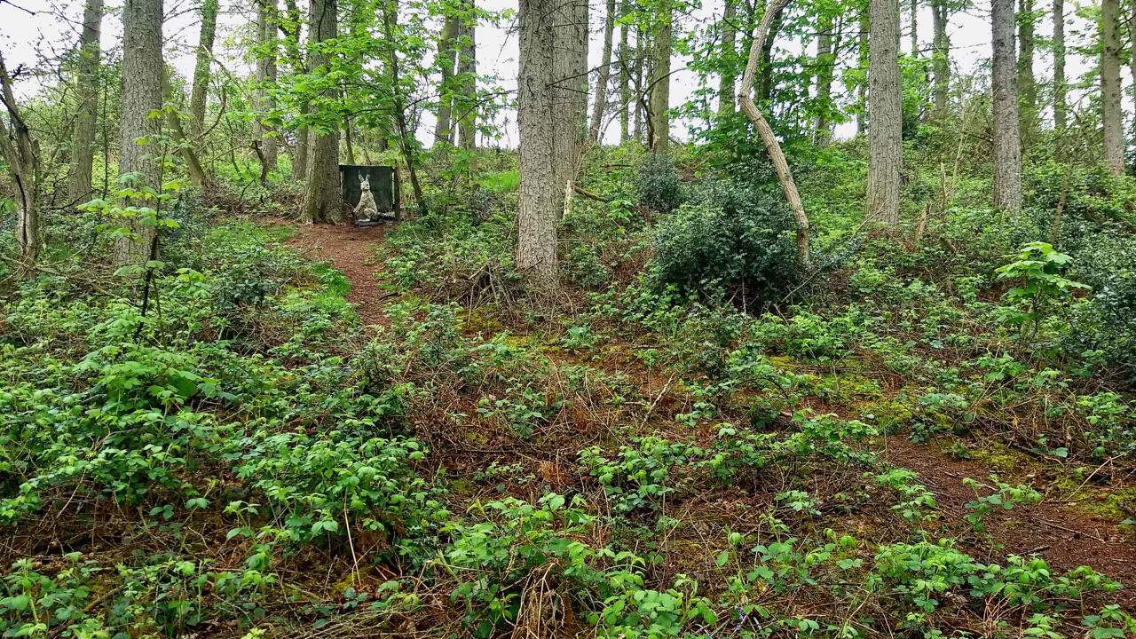
So Sowerdale. Nothing much to see really. A wooded valley of tall commercial pines with thick undergrowth and where I did spot an enormous rabbit.
Leave a Reply