Glaisdale is one of the Moors’ less visited dales. About 5km in length, running north-east to south-west. A true rural idyll. But this has not always been so. There is evidence of Medieval bloomeries belonging to the Guisborough Priory and of collieries at the head of the dale. The construction of the railway along the Esk Valley brought about a surge of industry: ironstone mining, whinstone quarrying and a blast furnace.
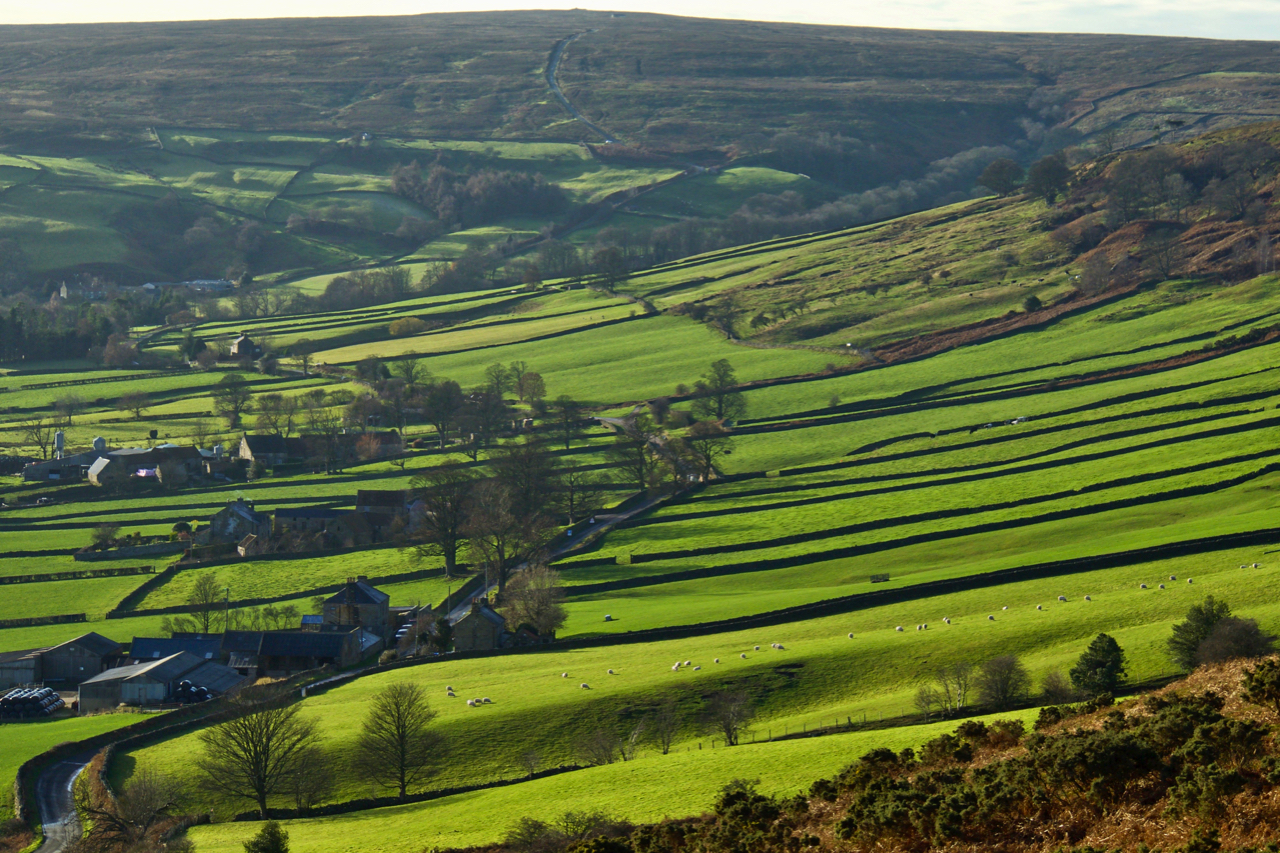
On the more sunny south-east facing side is the loosely scattered hamlet of Glaisdale Side with long intake fields leading up to the moor edge. At the head of the dale, the highest point on the horizon is Cock Heads on Glaisdale Moor, 402m above sea level. Look closely and you can see climbing towards the high point a road. This a Caper Hill, considered, I have found out today, to be the hardest cycle climb on the Moors. Harder than Rosedale Chimney apparently. Not as steep but relentless, and a loose gravelly surface with grass up the centre to contend with. A challenge awaits.
Leave a Reply