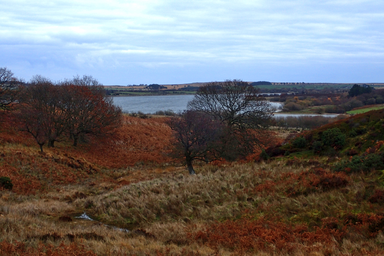
What came first the reservoir or the dam?
I have always thought Scaling Dam was named after the village of Scaling when the reservoir was commissioned in 1958. But browsing the Ordnance Survey six-inch map of 1856 I noticed a hamlet by the name of Scalingdam comprising the sandstone buildings standing along the north side of the A171. The building which was “The Grapes” but is now called “The Sneaky Fox” is shown as are several buildings further east. One of these is mapped as “The Royal George P.H.”. No sign of the reservoir of course but there is a Dam Beck and a Dam Bridge. These are still named as such on the modern map.
Curious I googled “Scalingdam” which returned three hits:
From The New Yorkshire Gazetteer, Or Topographical Dictionary, 1828:
SCALING NR 2 a hamlet in township of Easington parish of the wapentake of Langbarugh miles E from Guisborough In place is an inn called Scalingdam.
And finally, a mention in Archbishop Thomson’s Visitation Returns for the Diocese of York, 1865 about his services.
Toponymically, Scaling comes from the Old Norse word skarli for a shieling or shelter. Dam is likely to come from Old Norse too, dammr for a barrier across a stream to raise its level. So pretty much the same meaning as the modern word. So it seems the Vikings had the right idea.
Leave a Reply