When the summer of 2018 began it was just an un-named nondescript knoll in the Northern Fells of the Lake District with a spot height on the Ordnance Survey map of 609m. At the end of the summer, it was a nondescript mountain of 610m. Entitling it to be classified as Nuttall, a listing of all the mountains in England and Wales having a height of 2,000 feet (609.6m). A team of amateur surveyors used highly professional equipment to measure its height and its two cols with Great Lingy Hill and Knott. These last two measurements are critical for the second criteria for a hill to qualify as a mountain is that its “prominence” must be greater than 15m. From the summit to the Knott, col gives a descent of 20.2m. So a new mountain. The Ordnance Survey have accepted these measurements. The surveyors have named the previously un-named mountain as Miller Moss, the name of the boggy head of Grainsgill Beck to the south-east.
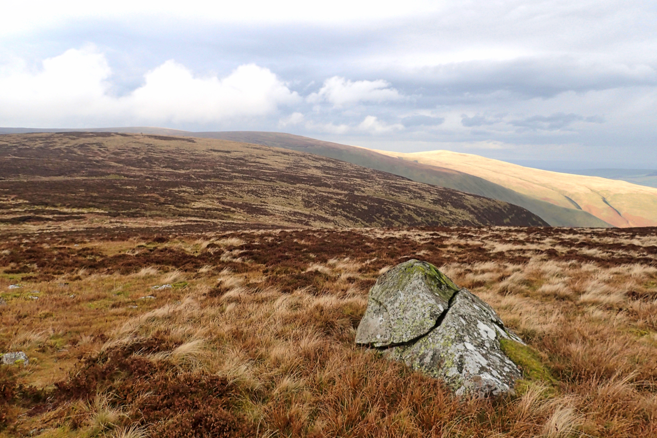
In my photo, the highest point on the skyline is Great Sca Fell at 651m. The bump in sunlight is Brae Fell at 586m. Miller Moss is the slight bump on the left below the skyline. A pile of stones marks the high point.
Leave a Reply