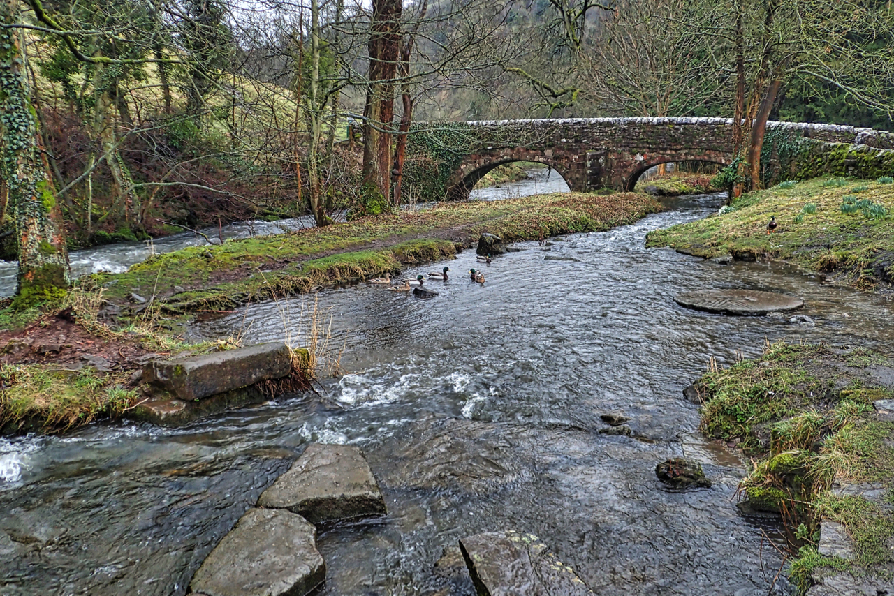
The White Peak is the name given to the southern half of the Peak District, because of its predominate limestone geology and also by comparison with the millstone grit northern half of the Dark Peak. During the last ice age, deep running north-south gorges were cut in the limestone plateau by the runoff of glacial meltwater. These resulted in obstacles to travel and trade east-west. Dovedale is perhaps the most picturesque of these dales and forms the boundary between the counties of Derbyshire and Staffordshire. Viator’s Bridge spans the River Dove at Milldale and is an ancient packhorse bridge. The earliest record of the bridge is from 1653 when Izaak Walton’s treatise The Compleat Angler was published. He described it as two fingers broad and quipped the locals must use only wheelbarrows. At this date, the bridge would have had no parapets in order that teams of packhorses laden with panniers could cross unhindered. Viator is Latin for a traveller, a name by which Walton referred to himself. The bridge has since been known as the Viator’s Bridge or wheelbarrow bridge.
Leave a Reply