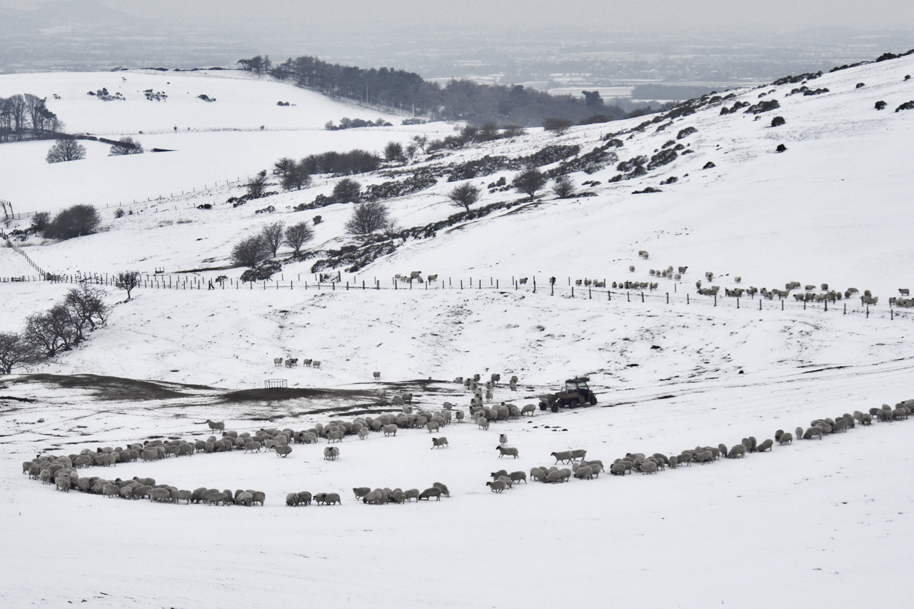
A busy Sunday morning for the farmer at Aireyholme. Snow makes it difficult for stock to graze and these sheep are likely to be in lamb so it’s doubly important to provide a feed supplement which the farmer is doing by a spreader on the back of his quad choreographing the sheep like the Pied Piper. A bale of silage is also provided as a second course. I’ve titled this Airy Holme, the general name for these fields on the 1853 Ordnance Survey map. The farm is Aireyholme. “Airey” means a high pasture and is said to derive from the Old Irish/Norse word Airgh. It is mentioned in the Domesday Book as Ergun and later in the 12c as Erghum. The other part of the name, “holme”, comes from the Old Scandinavian word, holmr, for a water meadow. This implies to me to be a low lying area by a river. A bit odd for these fields below Roseberry.
Leave a Reply