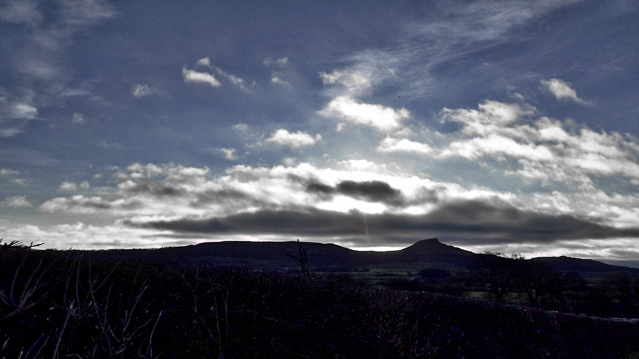
The farmland between the Eston Hills and Roseberry Topping is known as The Carrs, a name which has roots in the Scandinavian kjall meaning a water meadow with scattered trees of alder or willow. The modern Ordnance Survey map names it merely as The Flats, and it is indeed flat. But it made a change, I hadn’t been this way since running to and from work at ICI Wilton in the eighties. A blue sky but magic winter sunshine meant that Roseberry was in silhouette.
Leave a Reply