Category: Cleveland Hills
-
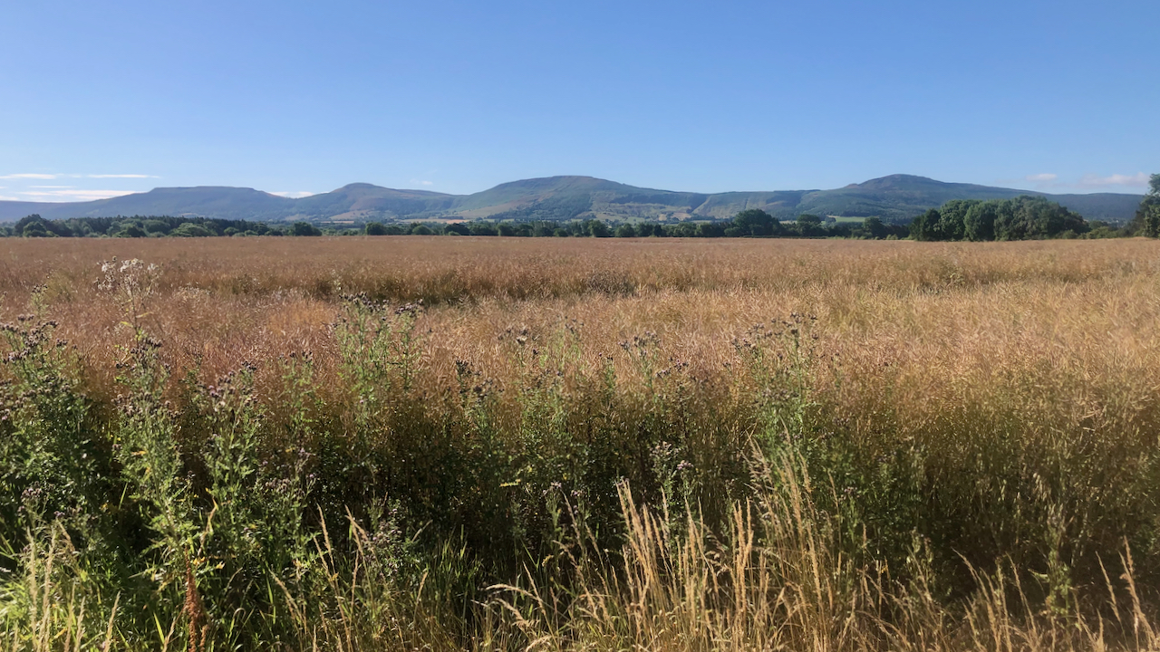
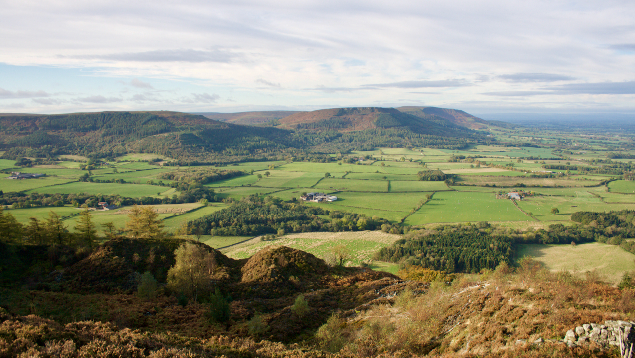
The Four Sisters
I am not sure who coined the term the ‘Four Sisters’ for the Cleveland hills of Hasty Bank, Cold Moor, Cringle Moor and Carlton Moor. Maybe it was Martyn Hudson who used that term in his book ‘on blackamoor‘. They form a familiar view from the vale of Cleveland. From urban Teesside, the flattened aspect…
-
The foxes are making coffee
Looking back as I topped Cliff Rigg this morning, I was reminded of my first crossing of the Lyke Wake Walk on 14 June 1969. We had left the trig. point on Scarth Wood Moor at 12:30 a.m., so was crossing the ‘four sisters’ of the Cleveland Hills in time for a 4 a.m. breakfast…
-
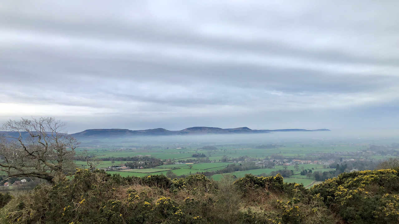
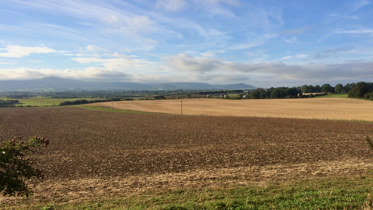
View of Stokesley and the Cleveland Plain from Tom Gill
I was minded to post a photo of Stokesley today, as on this day, 28th January, a Royalist army was raised in the town. If you didn’t know Stokesley is the built-up area far left in the photo. In a previous post, I wrote about the Battle of Marske Beach when, in the summer of…
-
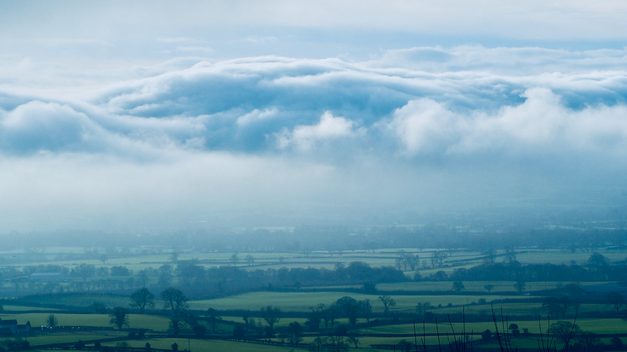
The smothered hills
Rather strange atmospherics on the moors. On Great Ayton Moor, views were blurred, drifting in and out of clarity. While a flocculent duvet covered the Cleveland Hills. A short while later I encountered the Boxing Day Hunt, a village “tradition” that seems to be in its dying throes. Just a couple of redcoats and a…
-
Ingleby Stone Quarry Company
A wander from Bank foot on a bright sunny morning with clear views of the Cleveland Hills. This is from abandoned sandstone quarry on Greenhow, a quarry operated by the Ingleby Stone Quarry Company, the stone from which was lowered down to the Rosedale Railway by an incline known as Wren’s Incline. The flat basin…
-
“Who is the Murderer? Was there a Murder!”
A view from Tanton Lane across the undulating farmland between Stokesley and the village of Seamer towards the distant Cleveland Hills. It is basically the watershed of the River Tame, a tributary of the River Leven, although drainage has been improved over the centuries by the digging of ditches or stells. But I’ll return to…
-
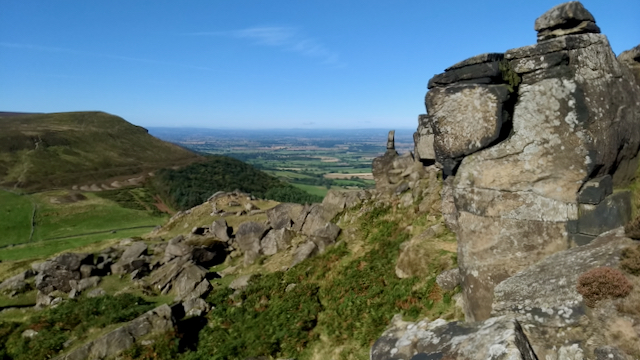
The Wainstones
Pronounced ‘wean‘ or ‘wearn‘ in the local dialect. The familiar jumble of Bajocian sandstone crags and boulders at the western end of Hasty Bank. Much loved by the climbing fraternity and long distance walkers on the Coast-to-Coast, The Cleveland Way and the Lyke Wake Walk. Opposite the col, Garfitt Gap, is Cold Moor or ‘Caudmer‘.…
-
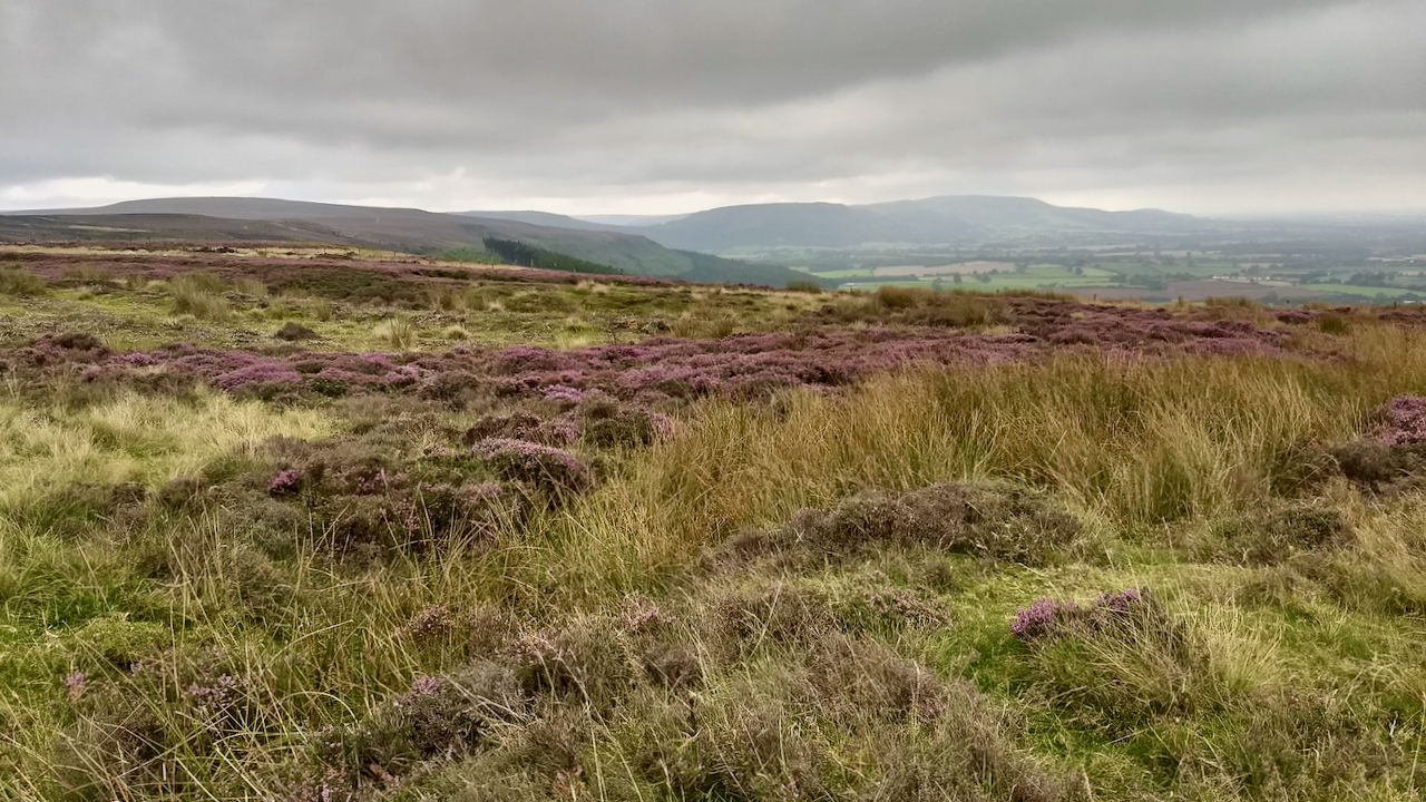
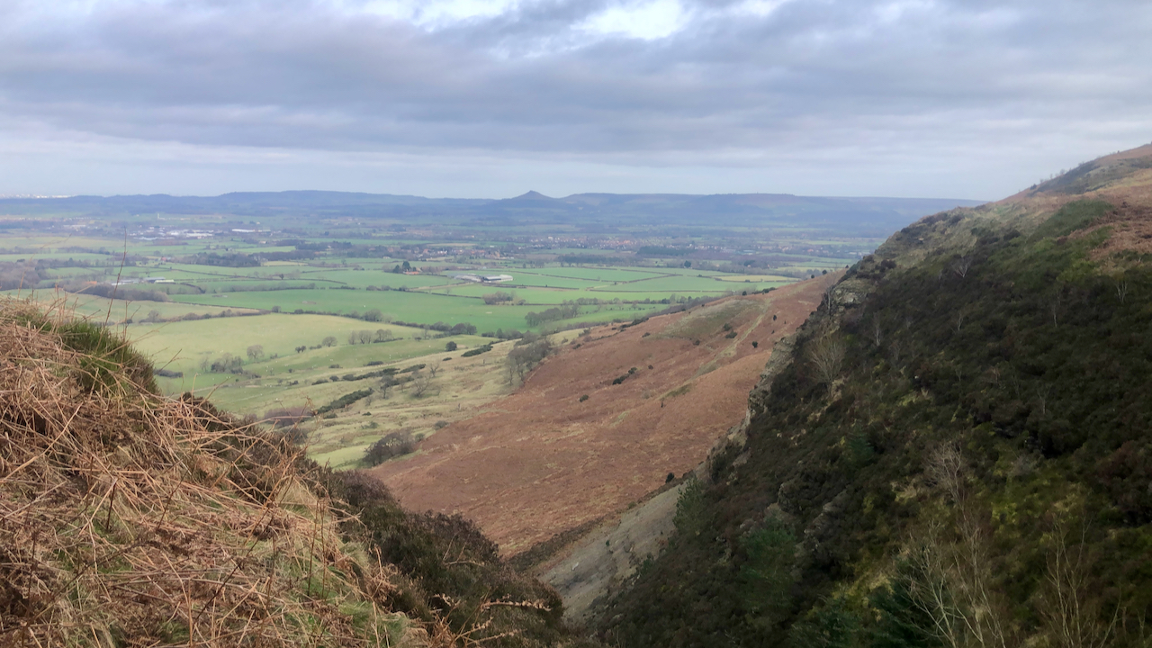
The Park, Kildale Moor
A view south along the Cleveland Hills on the meteorological first day of Autumn. Corrugated skies of grey. The heather is just about to change, not many more days when there is a hint of the purple. This moorland was once part of a medieval deer park of the Percys of Kildale. Just out of…
-
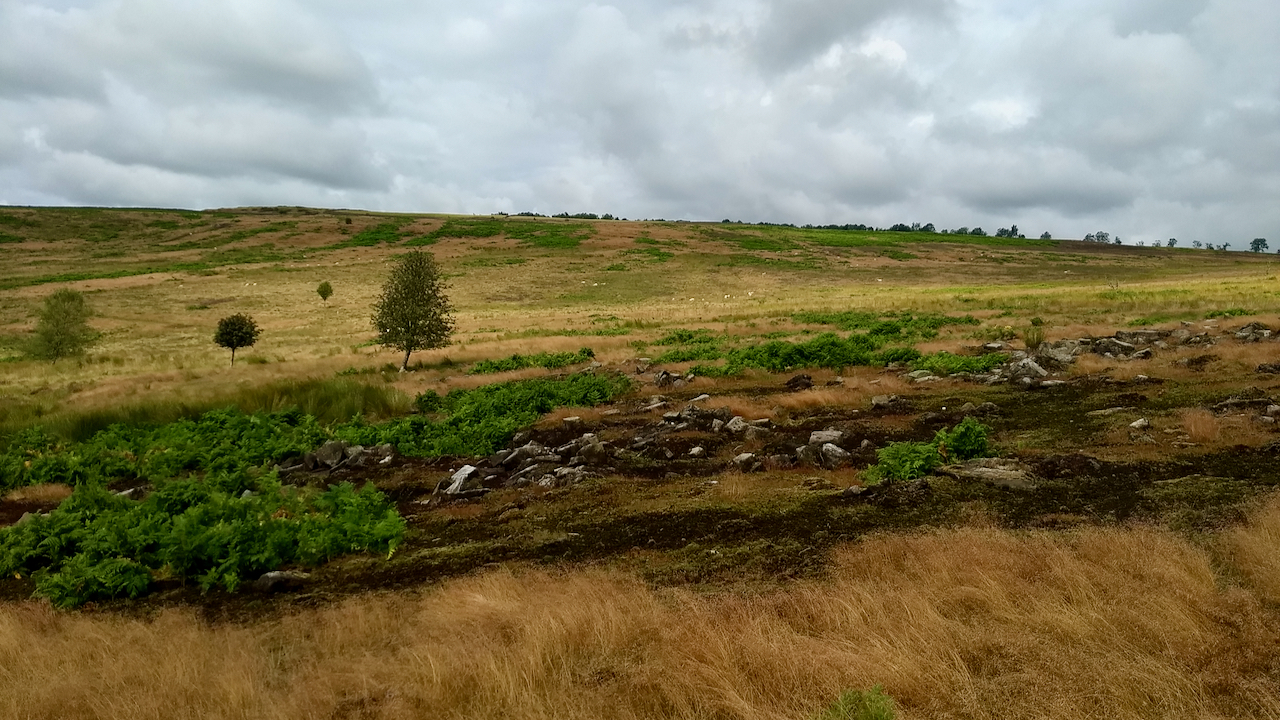
Scarth Wood Moor – a Neolithic village?
I’ve run across Scarth Wood Moor near Osmotherley many times in orienteering races but I can’t honestly remember encountering this boulder field. This is not surprising as, looking back at the 2019 map, I see nothing on the orienteering map, any exposed boulders were not considered significant enough to have been mapped. The boulders have…
-
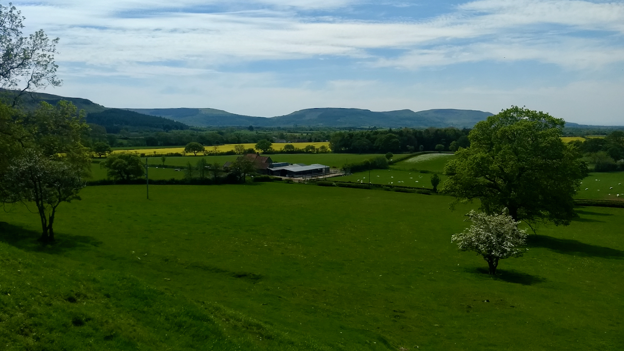
The Cleveland Hills from below Park Nab
An interesting day spent helping on an archaeological dig searching for the long lost chapel of St. Hilda in Kildale. Watch this space. A dearth of photographic opportunities though. This is the Cleveland Hills from below Park Nab. The farm is Low Farm. The hedgerow this side of the rape field, Dundale Beck, forms the…