Category: North York Moors
-
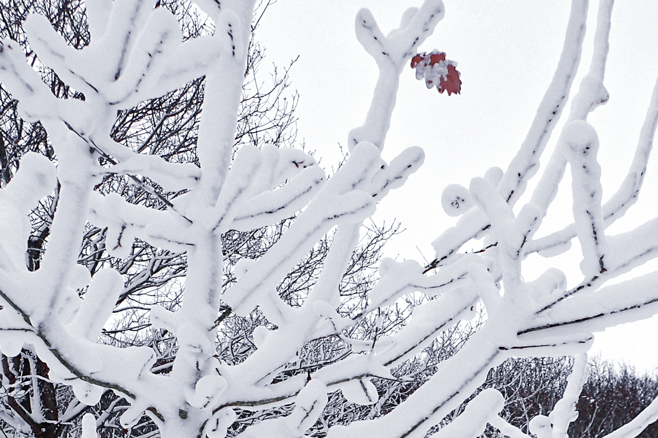
Spring has sprung
The first day of Spring. Meteorologically speaking. The 1st of March. An arbitrary date that the Met Office has declared for their statistics. More snow overnight with strong winds. Yet in a sheltered hollow of Newton Wood, a snow-encrusted oak sapling with a stubborn leaf still clinging on. An appropriate poem for this day by…
-
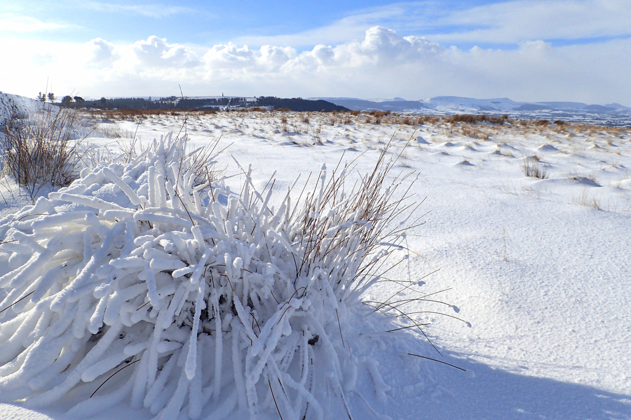
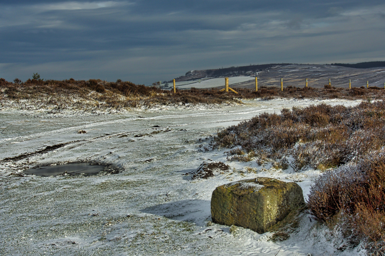
On Ayton Bank
The last day of February and I had had tentative thoughts of cycling into Middlesbrough to photograph the Newport Bridge for it was on this day in 1934 that the bridge was opened by the future King George VI. But more snow overnight put paid to that idea, so Plan B: head up on to…
-
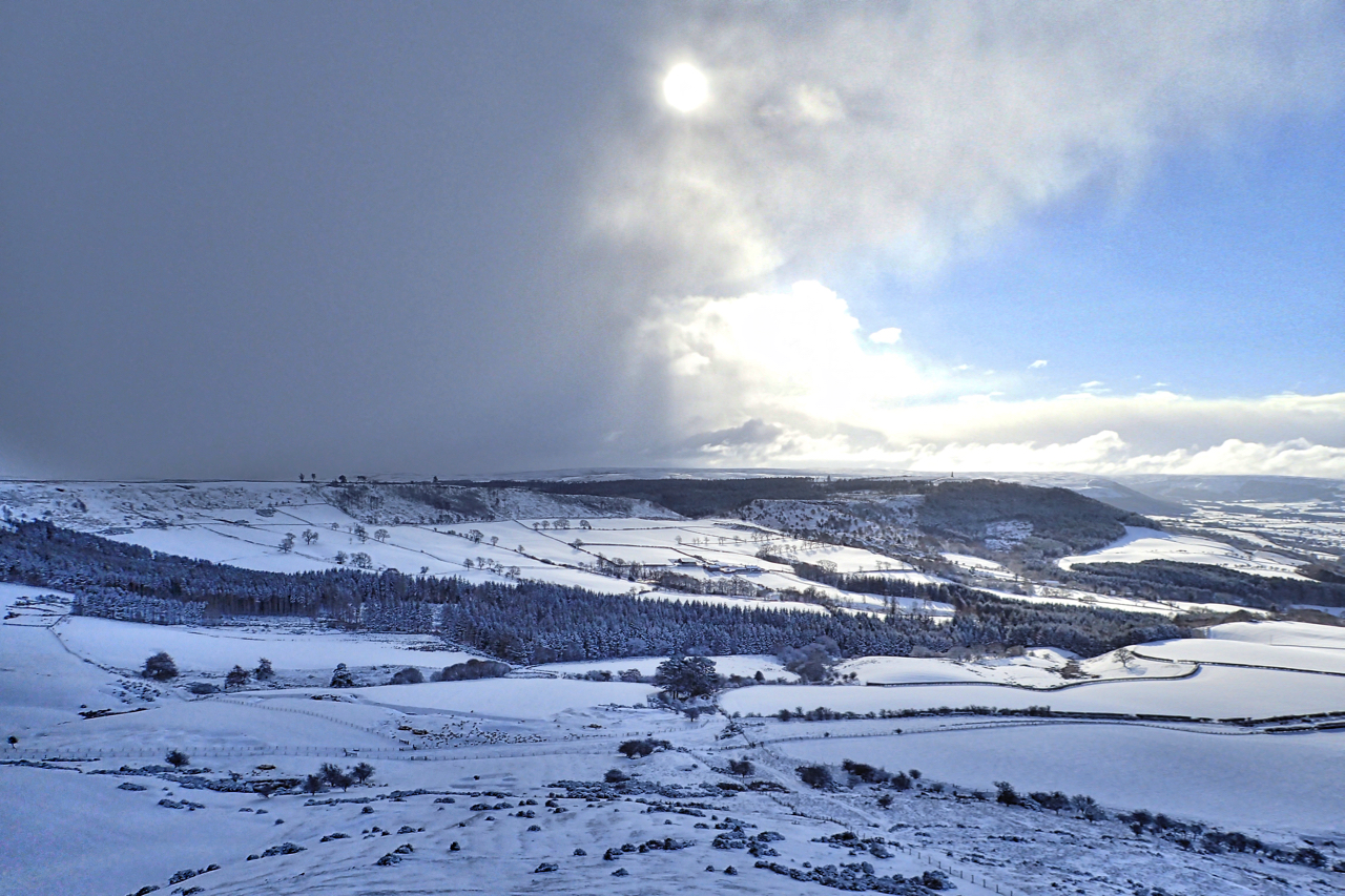
Thundersnow?
The “Beast from the East” arrived in North Yorkshire as a lamb. No worse than a normal winter. In The Sun today there is an article about thundersnow, apparently a rare phenonmena in the UK when thunderstorms occurs in cold winter air and rain falls as snow. This may well have been the front of…
-
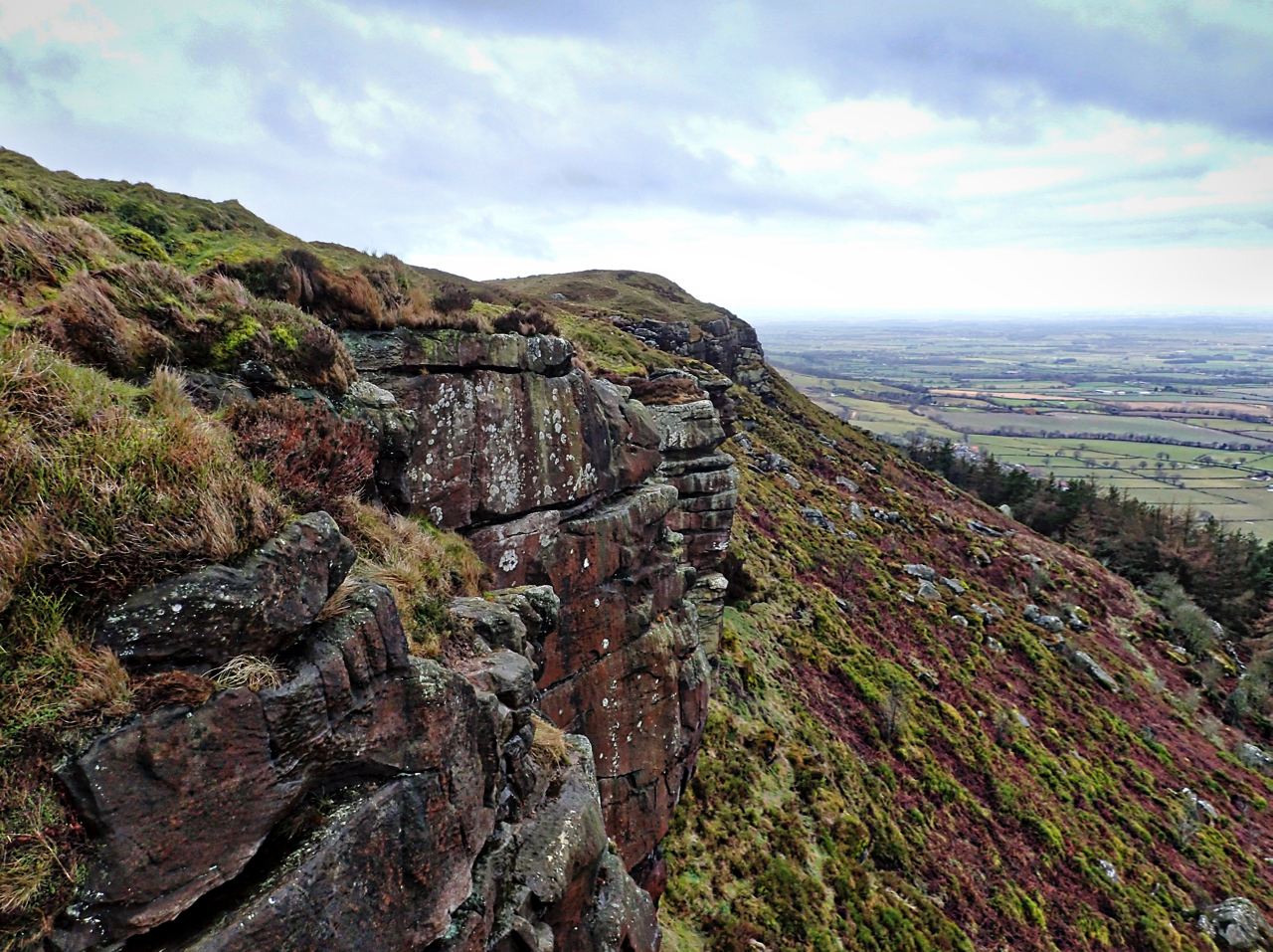
Raven’s Scar
A north facing sandstone crag overlooking Great Broughton on Hasty Bank. On the 1857 map named as Baven’s Scar which I think must have been an error. Open Space Web-Map builder Code
-
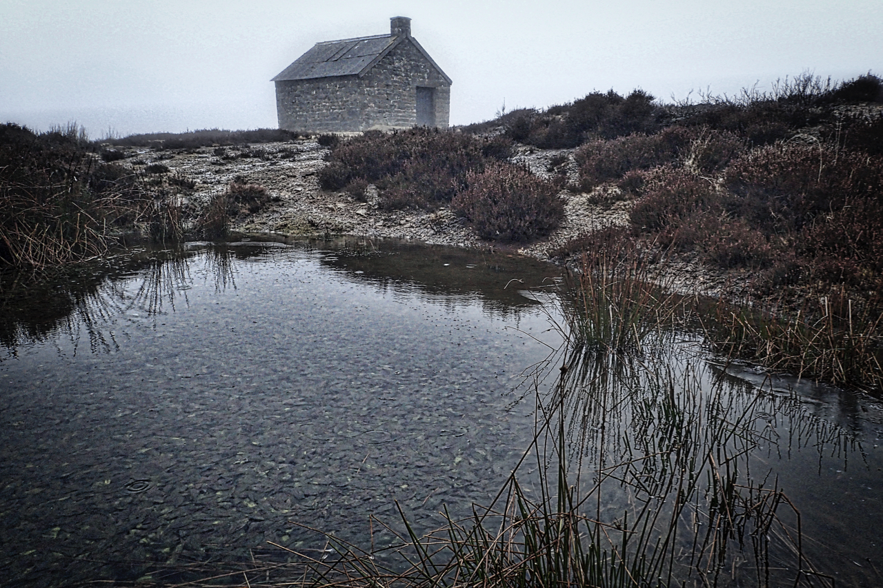
Swainby Shooting House
Just over a year to the day (well three days actually) and I find myself again at this remote spot on the vast expanse of heather moorland to the east of Osmotherley. But what a difference in the weather. Clag down and a heavy drizzle. The shooting house stands at a height of 319m above…
-
Siberia
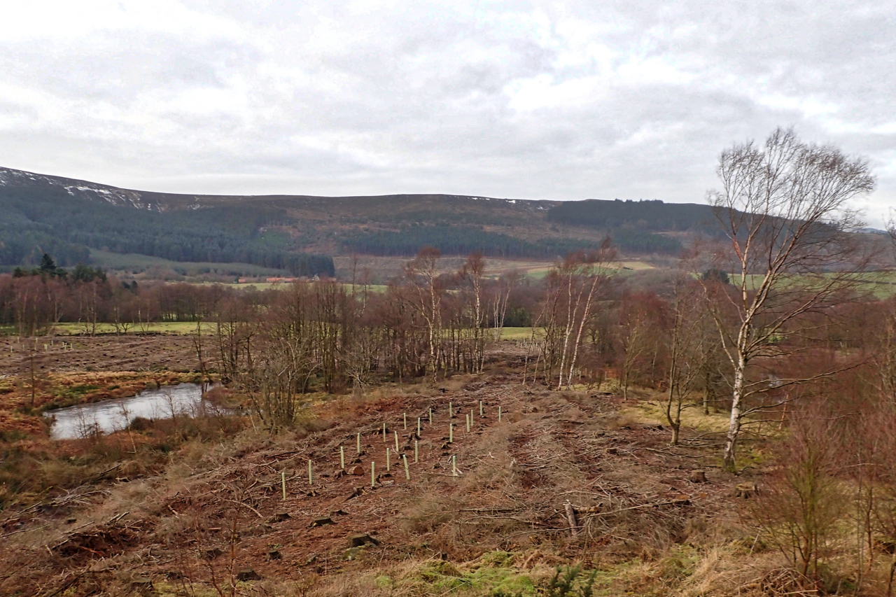
Greenhow Botton, often known as Midnight Corner. Felling has opened up new views. Not such a gloomy place. And somewhere in the cleared forest stood the temporary construction camp for the Ingleby Manor ironstone mine. It was named as Siberia and later reused for construction workers of the railway incline to Rosedale. Open Space Web-Map…
-
Public Bridleway through Coalmire Wood
This annoys me. Intimidating signs erected across a Public Right of Way, clearly shown as such on the O.S. maps and on the North York Moors National Park’s own mapping portal. I took the photo above at point A, and the one below, of a padlocked gate, at point B. Both maps indicate a Public Bridleway…
-
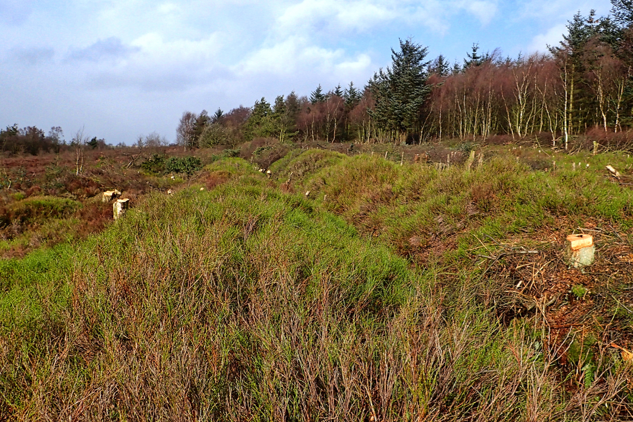
Prehistoric linear boundary at the Bridestones
The National Trust’s second winter season of tree and scrub clearance of the prehistoric linear boundary at Bridestones is almost over. Tree felling stops in the spring and summer to avoid disturbance of nesting birds. Just remaining for this winter is to stack the brashings and logs to create wildlife refuges. The Bronze Age earthwork…
-
Percy Cross
I’ve had my eye on this medieval wayside cross for some time but its position at the edge of a road verge is not very photogenic. Last night’s snowfall, however, has had the double effect of transforming the scene and highlighting the base of the cross known as Percy Cross. Although the shaft is missing…
-
Church Way, Ainthorpe Rigg
I often find I visit a stretch of moor that I haven’t been to for years then, a short time later, I’m back on that very same moor. So it was today, I found myself back on Ainthorpe Rigg, and on the Old Hell Road, the old corpse road. This would have been the final…